Paths Greenways Bridleways Tracks
 PG: OBJECTS: PROMOTION: Stevenage: Meadway (old road)
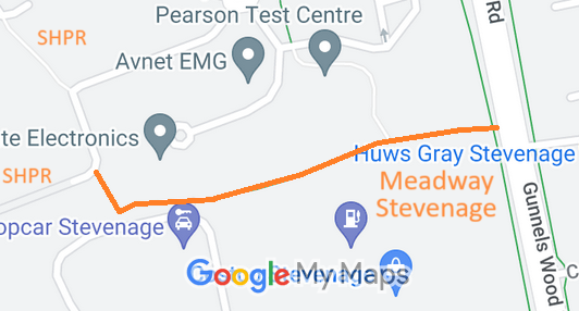
Map showing recorded Stevenage paths
Annotated map reproduced courtesy of Googlemaps.
This route starts from Gunnels Wood Road (public road) and continues generally westwards before turning northewards and ending on Meadway (public road), and joining the Stevenage Horse and Pony Route.

At the time of the 2023 Access Survey (19 Dec 23), the route had bollards at each end but there was clear space for walkers, riders and cyclists. There was a cycle roundle at the Gunnels Wood Lane end.
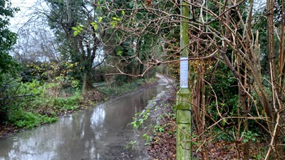
Photograph of Stevenage Horse and Pony Route from Meadway to Symmonds Green Road
View West from Gunnels Wood Road
Photo: Phil Wadey, 19 Dec 2023
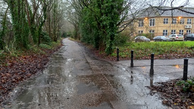
Photograph of Stevenage Horse and Pony Route from Meadway to Symmonds Green Road
Continuing Westwards
Photo: Phil Wadey, 19 Dec 2023
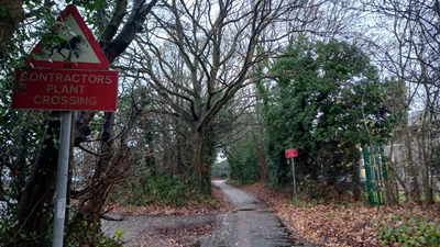
Photograph of Stevenage Horse and Pony Route from Meadway to Symmonds Green Road
Continuing Westwards
Photo: Phil Wadey, 19 Dec 2023
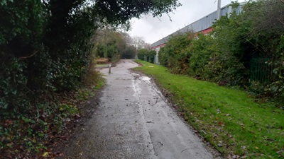
Photograph of Stevenage Horse and Pony Route from Meadway to Symmonds Green Road
Continuing Northwards
Photo: Phil Wadey, 19 Dec 2023
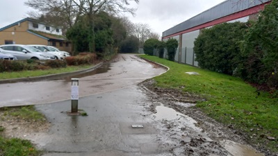
Photograph of Stevenage Horse and Pony Route from Meadway to Symmonds Green Road
Approaching Meadway (public road)
Photo: Phil Wadey, 19 Dec 2023

Legal History
19 Dec 2023: Application to record this route as a byway. HCC reference STV/48.

Application Process
Path Application Certificate Direction Inv Report Order Confirmed
EC1204 19 Dec 2023 STV/48 21 Dec 2023        

  Location Information
Postcode for SATNAV for anyone inspecting path: SG1 2EN.

© 2024 Patchetts Green Bridleways Trust. File reference: EC1204. DOBBIN reference: HER-0136 HCC reference: STV/48

Stats2