
- Pirton 6 and Ickleford 19 BW from Hambridge Way (Pirton 21 BW) south to the Icknield Way and West Mill Lane.
- Pirton 8 BW Wood Lane, from Pirton to the B635 Icknield Way
- Pirton 19 BW, from the Pirton to Holwell road to the county boundary
- Pirton 20 and Hitchin 3 RB, from the Pirton to Hitchin road to Oughtonhead Way, Hitchin
- Pirton 21 BW, from Little Green, Pirton to Ickleford 16 bridleway.
- Pirton 27 BW, from Hitchin Road to the Icknield Way (Pirton 28)
- Pirton 28 BW Icknield Way
- Pirton 6 and Holwell 13, from Pirton Road (Holwell) to Pirton 21 BW (Hambridge Way) and Pirton 6 BW (collecting evidence)
- Pirton 5 and Hitchin 1 (part) and 21, from Westmill Lane to Burford Way
- Pirton Little Lane, from Holwell Road to High Street
- Pirton Bury Lane, from Crab Tree Lane to Church and Pirton 16 Footpath
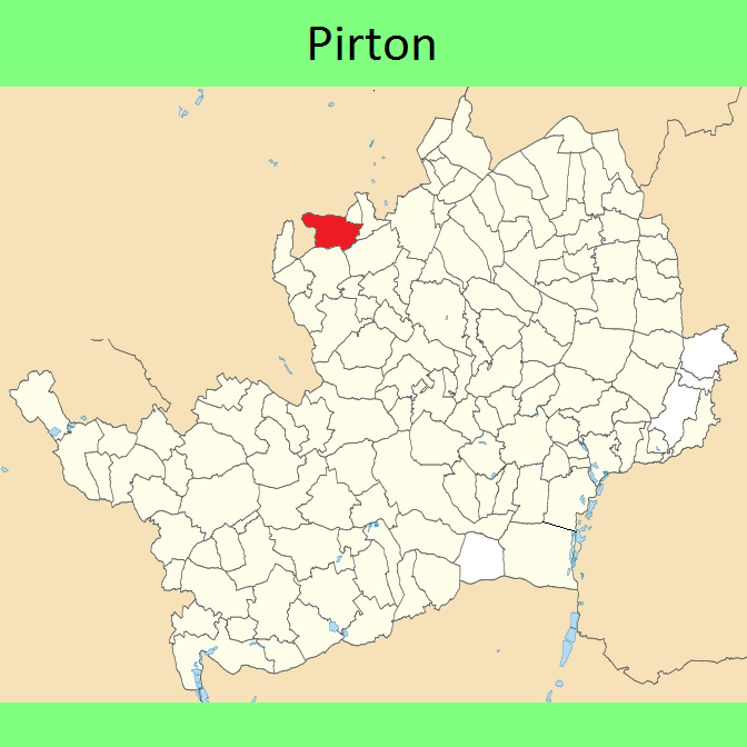

 Local Government: Formerly within Hitchin Rural District.
From 1974, part of North Hertfordshire district.
Inclosure (1818).
 The Pirton Parish Council has adopted a Neighbourhood Development Plan (2018), which counts as part of the Local Development Plan when planning applications are considered.
