Paths Greenways Bridleways Tracks
 PG: OBJECTS: PROMOTION: Pirton Little Lane
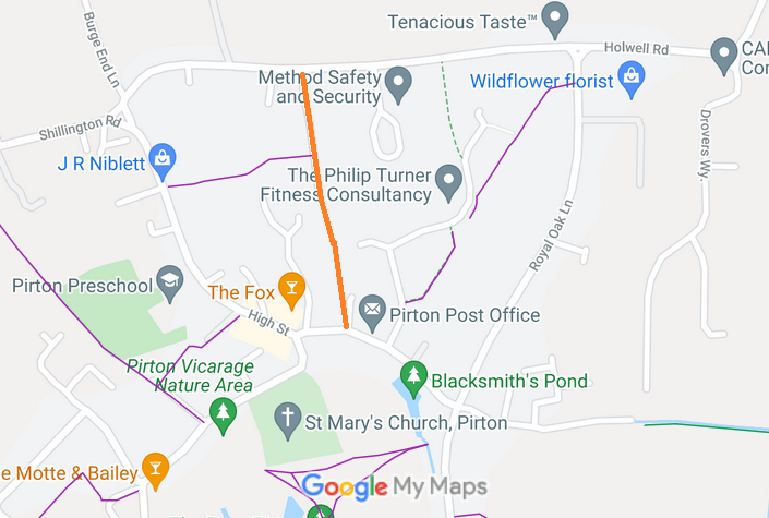
Map showing Pirton Little Lane
Annotated map reproduced courtesy of Googlemaps.
This route runs from Holwell Road to the High Street.

At the time of the 2019 Access Survey (29 Sep 19), no gates or other obstructions were across the route. There were no signposts.
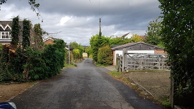
Photograph of Little Lane, Pirton View of Wider (N) Section
Photo: Phil Wadey, 29 Sep 2019
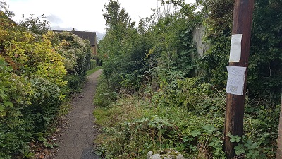
Photograph of Little Lane, Pirton View from N end narrower section
Photo: Phil Wadey, 29 Sep 2019
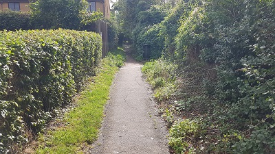
Photograph of Little Lane, Pirton Continuing Southwards
Photo: Phil Wadey, 29 Sep 2019
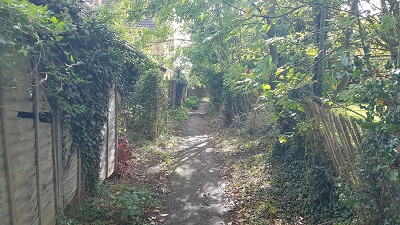
Photograph of Little Lane, Pirton Continuing Southwards
Photo: Phil Wadey, 29 Sep 2019
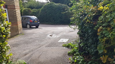
Photograph of Little Lane, Pirton Continuing Southwards to High Street
Photo: Phil Wadey, 29 Sep 2019

BHS As part of the British Horse Society's work to record paths before Path Extinguishment Day, it was spotted that this route was not recorded. An application was made in 2019 to record the route.

Legal History
1938: The route is shown as an unclassified county road on the Hertfordshire County Council ROW survey. Map Hitchin Rural West 4 (Herts 6 SE).
31 Jul 2019: Application made to record route as a byway. HCC reference NH/318.
Application Process
Path Application Certificate Direction Inv Report Order Confirmed
EC816 31 Jul 2019 NH/318 29 Sep 2019        
Definitive Map sheet: 10
[This route is not yet recorded on the definitive map and so there is no definitive statement.]

© 2025 Patchetts Green Bridleways Trust. File reference: EC816. HCC reference: NH/318.

Stats2