Paths Greenways Bridleways Tracks
 PG: OBJECTS: PROMOTION: DACORUM: Nash Mills 4 BOAT and Hemel Hempstead 119 BOAT
Map showing recorded paths in Nash Mills and Hemel Hempstead
Annotated map reproduced courtesy of Googlemaps.
Nash Mills 4 (a byway open to all traffic) runs from the public road, Bunkers Lane, generally north to the parish boundary, and becomes Hemel Hempstead 119 which runs to Chambersbury Lane.

At the time of the BHS 2021 Access Survey (16 Aug 21), the gates across the path at each end were locked and not able to be opened, but there were spaces to the side for riders. The route had the correct statutory council fingerposts at each end. Wooden signposts indicated where the Bunkers Park bridleway leaves the byway.
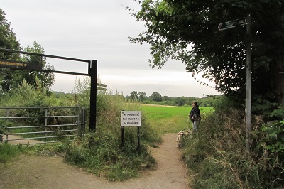
Hemel Hempstead 119
View from Chambersbury Lane
Photo: Brian Worrell, 16 Aug 2021
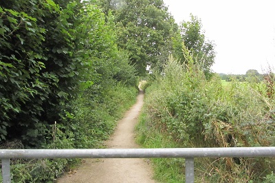
Hemel Hempstead 119
View southeast along byway
Photo: Brian Worrell, 16 Aug 2021
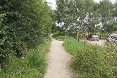
Nash Mills 4
View southeast past car park
Photo: Brian Worrell, 16 Aug 2021
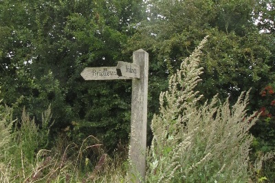
Nash Mills 4
Junction with Bunkers Park bridleway
Photo: Brian Worrell, 16 Aug 2021
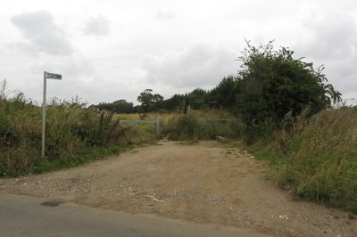
Nash Mills 4
View northwest from Bunkers Lane
Photo: Brian Worrell, 16 Aug 2021

Legal History
20 Jun 1953: This route was recorded as Abbots Langley 4 CRB (Carriage Road used as Bridleway) and Hemel Hempstead 119 CRB on original definitive map and statement. DM sheet DM3-21 (TL00NE).
1974: When Nash Mills parish separated from Abbots Langley parish, it retained the number.
31 Dec 1977: The route was shown as a byway on the special review draft map and statement. DM sheet SR-66 (TL00NE).
Definitive Statement (4 Dec 2015)
Path: [Nash Mills] 4.  Status: BOAT.  Definitive Map sheet: 66
Commences from parish boundary just SE of Chambersbury Lane thence SE to join Bunker's Lane opposite Bunker's Farm.

Path: [Hemel Hempstead] 119.  Status: BOAT.  Definitive Map sheet: 66
Starts in Chambersbury Lane as opening into field, partly metalled road, continues to borough boundary.

© 2021 Patchetts Green Bridleways Trust.

Stats2