
- Nash Mills 3 BOAT and Abbots Langley 76 BW, Highwoodhall Lane.
- Nash Mills 4 BOAT and Hemel Hempstead 119 BOAT, Bunkers Lane to Chambersbury Lane.
- Nash Mills Bunkers Park BW between Bunkers Lane and Chambersbury Lane.
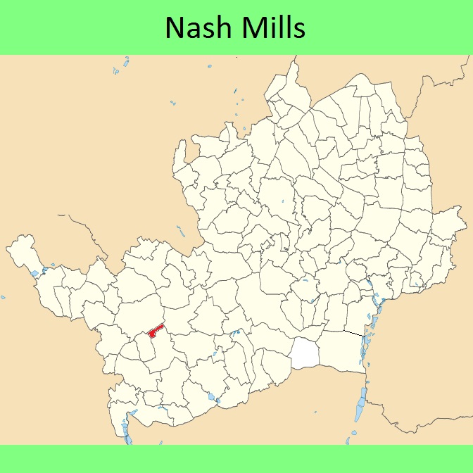
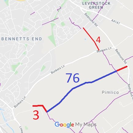

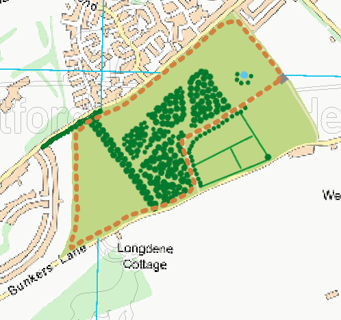
Annotated maps reproduced courtesy of Googlemaps and ParksHerts.


 Local Government: Formerly within Watford Rural District.
From 1974, part of Dacorum District.
Nash Mills was created in 1974 from the part of Abbots Langley parish that fell within the Hemel Hempstead New Town boundary.
Tithe (1839) DSA4/63/2.
