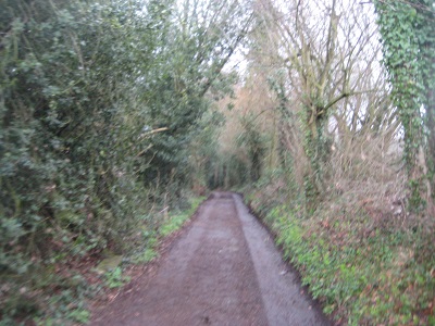
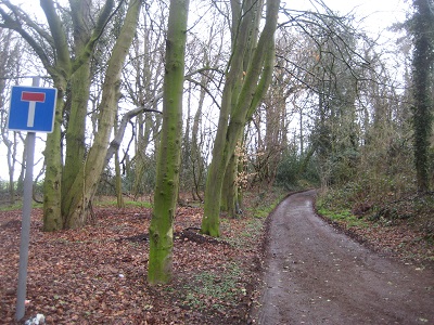
Legal History
1839: Highwood Hall Lane was shown on the Abbots Langley tithe map as not subject to an apportionment. Plot 837, roads and wastes.
1926: The Rural District of Watford (Main Roads) Order 1926 recorded two sections of this lane as main roads, maintainable by the County Council. These are 1 furlong (201m) off Bedmond Lane, and 1 furlong 113 yds (304m) from the other end. Main roads orders could only take over the maintenance of roads from the relevant district council.
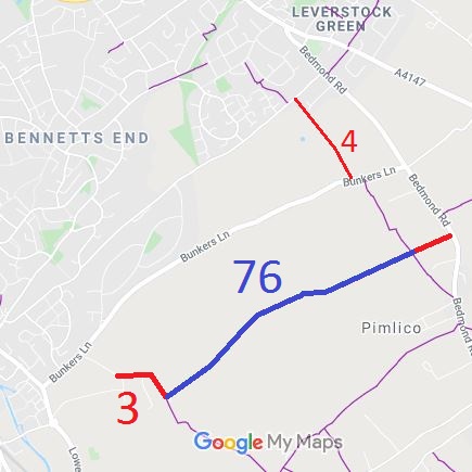
20 Jun 1953: Nash Mills 3 was recorded as Abbots Langley 3 CRF (Carriage Road used as Footpath) on the original definitive map and statement. Highwoodhall Lane was not recorded.
DM sheet DM3-29 (Herts 33 SE; TL00SE).
1974: When Nash Mills parish separated from Abbots Langley parish, the route left in Abbots Langley was renumbered path 76.
31 Dec 1977: Abbots Langley 76 was shown as a bridleway on the special review draft map and statement and Nash Mills 3 was shown as a byway. DM sheets SR-66 (TL00NE) and SR-75 (TL00SE).
20 Sep 2010: Application made to record Abbots Langley 76 BW as RB. HCC reference 3R/75.
|
Definitive Statement (4 Dec 2015)
Path: [Nash Mills] 3. Status: BOAT.
Definitive Map sheet: 75
Commences from county road N of Abbotshill thence E and S along boundary of grounds to
junction with FP8 (Abbots Langley) at Highwoodhall Lane.
Path: [Abbots Langley] 76. Status: Bridleway.
Definitive Map sheets: 66, 75
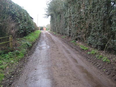
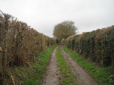
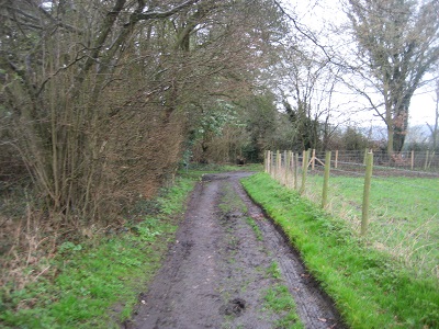
Highwoodhall Lane - commences from junction of BOAT 3 [Nash Mills] and FP8, runs generally NE
along a well defined 6' - 8' wide track. Runs on northern side of field boundary between
hedge and field, hedge and bank, and hedge and hedge to county road at Highwoodhall Farm.
|