| Paths Greenways Bridleways Tracks | ||
| PG: OBJECTS: PROMOTION: Holwell 13 and Pirton 6 | ||
| We're collecting user evidence for the council now: Download user evidence form - Read the Instructions | ||
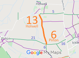
![]() Annotated map reproduced courtesy of Googlemaps. |
This route runs from Pirton Road in Holwell, and heads generally southwards to a junction with the Hambridge Way (Pirton 21 bridleway) and Pirton 6 bridleway.
It was reported as being blocked on 16 Mar 2021, so the British Horse Society is collecting user evidence to check that it is recorded properly.
|
![]()
View from road at N end |
||
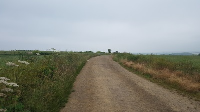
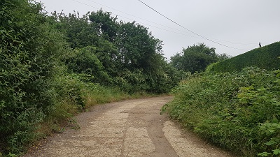
Heading South on wide farm trackPhoto: 27 Jun 2021 |
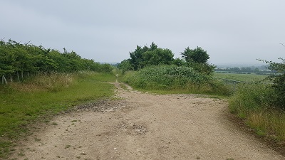
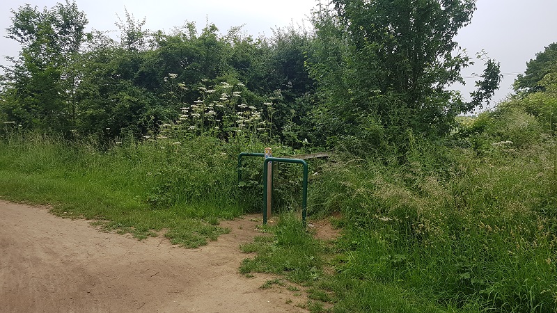
Heading South as farm track turns rightPhoto: 27 Jun 2021 |
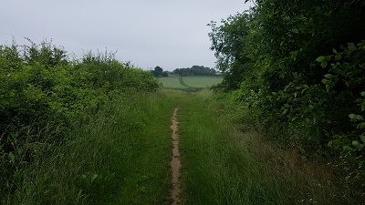
Heading S on middle sectionPhoto: 27 Jun 2021 |
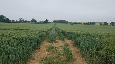
Cross-field path to field boundaryPhoto: 27 Jun 2021 |
Looking North from BW 21, obstruction to pathPhoto: 27 Jun 2021 |
If you have ridden the route, please download a user evidence form and then follow the instructions and return the form to us. It only takes a few minutes to fill in (the whole form fits on one side of a piece of A4 paper). If you have any other questions, please email us.
| ||||
| Legal History 1938: Holwell 13 is shown as Holwell 14 FP (red dots) on the Hertfordshire County Council ROW survey. Map Hitchin Rural West 4 (Herts 6 SE). 1938: Pirton 6 is shown as Pirton ?18 FP (red dots) on the Hertfordshire County Council ROW survey. Map Hitchin Rural West 4 (Herts 6 SE). 16 Mar 2021: Report of fencing obstructions. This might be a bringing into question, so user evidence will be collected. |
Definitive Statement (4 Dec 2015)
Path: [Holwell] 13. Status: Footpath. Definitive Map sheet: 11 Commences from Holwell - Pirton road SE of Lordship Farm thence SE and S past BR14 to join FP6 (Pirton) at parish boundary. Path: [Pirton] 6. Status: Bridleway/Footpath.
Definitive Map sheet: 11 |
© 2024 Patchetts Green Bridleways Trust. File reference: EC1148.