
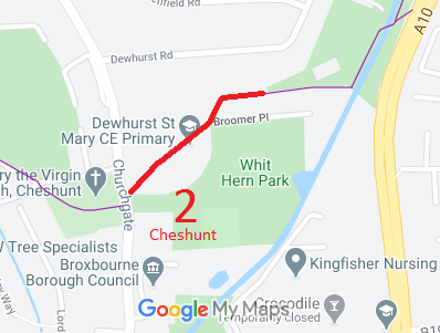
- Cheshunt 2 RB from Churchgate (public road) to FP 2
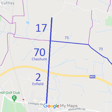
- Cheshunt 17 BW From Burnt Farm Ride (BW 70) to Jones Road
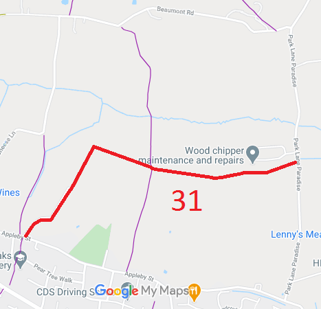
- Cheshunt 31 RB From Paradise Hill to Appleby Street
- Cheshunt 70 BW, Burnt Farm Ride
- Cheshunt 61 BW Bury Green Road (North of Lt Ellis Way)
- Cheshunt 71 BW Bury Green Road (South of Lt Ellis Way) and Bulls Cross Ride
- Cheshunt 73 BW, Old Park Ride
- Cheshunt 74 BW, Theobalds Lane (W of Lt Ellis Way)
- Cheshunt 75 BW, Theobalds Lane (E of Lt Ellis Way)
- Cheshunt 76 BW on Woodland Trust land
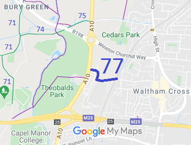
- Cheshunt 77 BW from A10 to Park Lane (crosses railway)
- Cheshunt 53 Short route joining BW to road
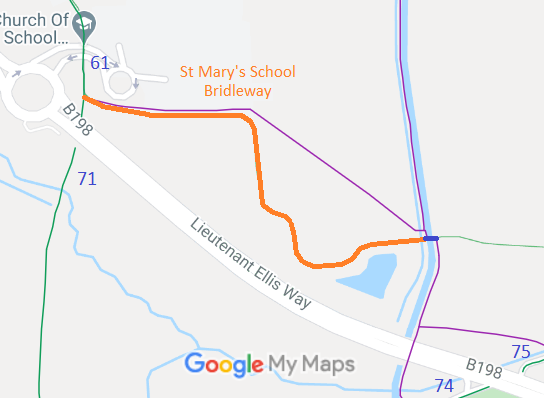
- Cheshunt 87 St Mary's School route (Cheshunt 61 to New River)
- Cheshunt Beaumont Lane (Application made to record RB)
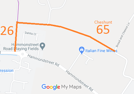
- Cheshunt 26 & 65 (Application made to upgrade FPs)
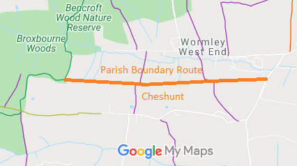
- Cheshunt 30, 29, 27 Holy Cross Hill to Brickendon Liberty 65 BW (Application made to upgrade parts of FPs) on the parish boundary
- Cheshunt A10 Bridge route (New River to East of A10) (Route under development)
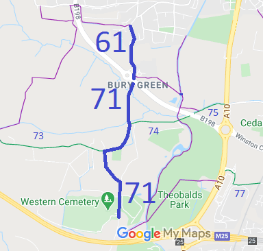
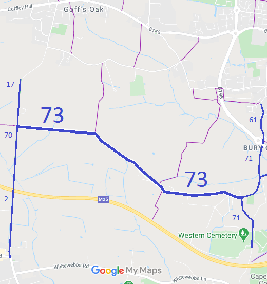
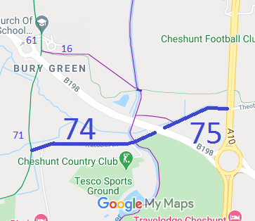
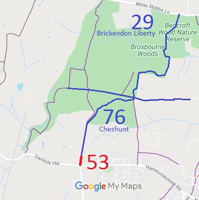
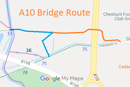
Annotated maps reproduced courtesy of Googlemaps.


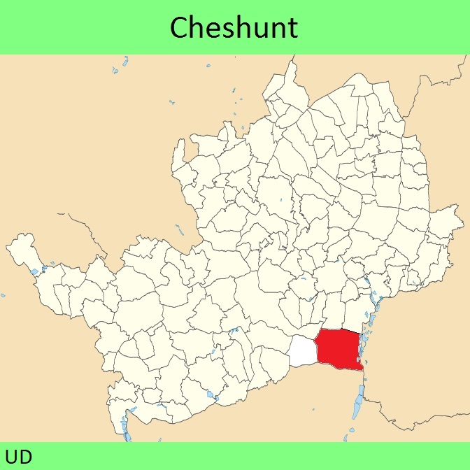
 Local Government: Formerly within Cheshunt Urban District. From 1974, part of Broxbourne Borough.
The Parish of Cheshunt was added to the Metropolitan Police District on 3 Jan 1840 and so any commons in the parish are 'Metropolitan Commons'.
Tithe (Broxbourne) (1839) DSA4/25/2. Tithe (Cheshunt) (1842) DSA4/30/2. Tithe (Wormley) (1841) DSA4/120/2.

