image of St Mary's School bridleway taken in 2021 showing path between woods
 PG: OBJECTS: PROMOTION: Cheshunt 87 - St Mary's School Route (includes parts of former Cheshunt 13 and 16)  H251 
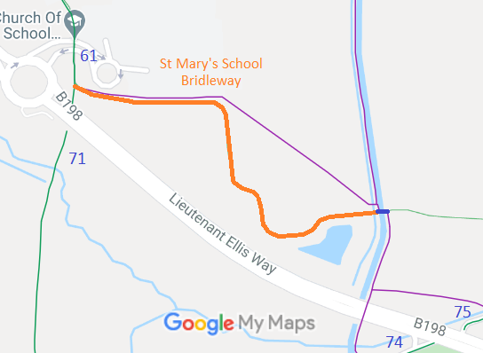
Map showing St Mary's School bridleway
Annotated map reproduced courtesy of Googlemaps.
This route starts on Bury Green Road (bridleway Cheshunt 61) and heads generally eastwards before leaving Cheshunt 16 Footpath and following a field edge to the bridleway bridge (shown in blue) over the New River. The route on the eastern side of the New River is part of a route under development. SIgn at western end pointing along path

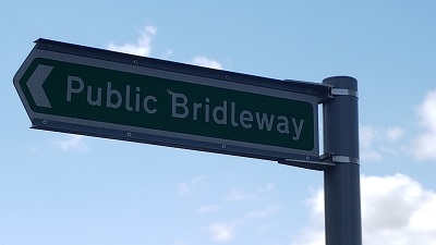
Sign at western end pointing along path
Photo: Phil Wadey, 11 Apr 2021

Cheshunt SMS bridleway Cheshunt 74 (to left) from E end of route
Photo: Phil Wadey, 11 Apr 2021
Cheshunt SMS bridleway Heading East from Cheshunt 61
Photo: Phil Wadey, 11 Apr 2021
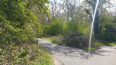
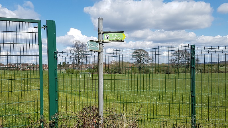
Cheshunt SMS bridleway Bridleway sign where route leaves Cheshunt 16
Photo: Phil Wadey, 11 Apr 2021
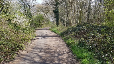
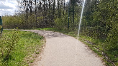
Cheshunt SMS bridleway Heading generally Eastwards
Photo: Phil Wadey, 11 Apr 2021
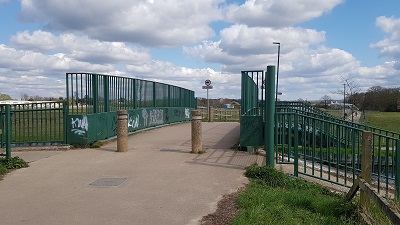
Cheshunt SMS bridleway Cheshunt 13 bridleway bridge
Photo: Phil Wadey, 11 Apr 2021
BHSHerts LAF This route is shown in the Hertfordshire Rights of Way Improvement Plan 2017/18-2027/28 as route 1/86 requiring better signage to Lee Valley Park.

Legal History
22 Dec 2010: Public Path Creation Agreement between Hertfordshire County Council and Thames Water Utilities Ltd created a bridleway over the New River.
5 Sep 2011: Hertfordshire County Council Adoption Agreement created a bridleway over the route between the river and Cheshunt 61 BW.
8 Dec 2023: Hertfordshire County Council appropriation report approved.
14 Aug 2025: The Hertfordshire County Council (Cheshunt Bridleway 87) Legal Event Modification Order 2025 added the new bridleway rights to the definitive map and statement.
Definitive Statement (9 Jun 2025)
Path: [Cheshunt] 87.  Status: Bridleway.  Definitive Map sheet: 80
Commences E of New River at TL 3484 0126 then W for approx 6m to junction with Cheshunt FP13 at TL 3483 0126, crossing the bridge over New River then generally W to the N end of the balancing pond, then generally N, along the E side of Broom Hills wood, for approx 345m to TL 3461 0139, with a spur N for approx 15m to a junction with Cheshunt FP16 at TL 3461 0140, and continuing W through Broom Hills wood for approx 210m to join Bury Green Road and BR61 at TL 3441 0141.
Width: 4.5 metres between:
TL 3484 0126 and TL 3481 0126
TL 3461 0139 and TL 3461 0140
TL 3461 0139 and TL 3441 0141,
Varies between 6 and 15 metres as shown shaded yellow on the Property Policy Report - Appropriation for Highways Purposes of part of Land at Bury Green Way, Cheshunt, part of Land at Theobalds Park Estate, Cheshunt and part of Footpath at St Mary's C of E VA High School from TL 3482 0126 to TL 3461 0139.
Limitations: None
Maintainability
The route over the New River is maintainable at the public expense by virtue of s.36(2)(d) Highways Act 1980 as it was created by a Public Path Creation Agreement with Thames Water. [Dedicated by PPCA]
The remainder of the route is maintainable at the public expense by virtue of s.36(2)(a) Highways Act 1980. [Constructed by Highway Authority]

© 2025 Patchetts Green Bridleways Trust. File reference: ED089 (New River Bridge).

Stats2