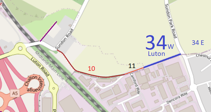
- Luton 34 BW, from Chalton 11 to Sundon Park Road
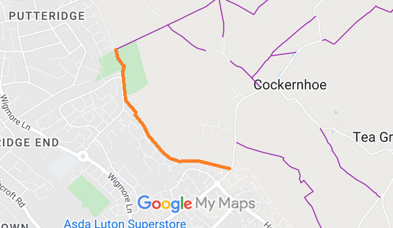
- Luton 45 RB and Offley 39 RB, from Offley 20 byway and Selsey Drive to (almost) Luton Road
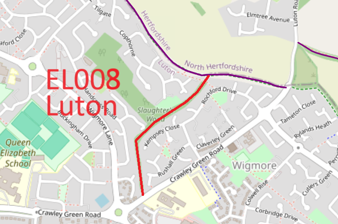
- Luton unrecorded from Crawley Green Road to Offley 39
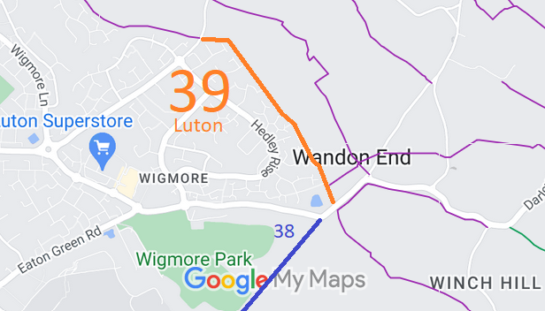
- Luton 39, from Luton Road to Wigmore Lane
- Luton 38 BW, from Wigmore Lane to Luton 28x
- Luton 28x BW, from Luton 38 to Luton 37 BW
- Luton 37 BW, from Luton 28 BW to Winch Hill Road
- Luton Theed Way, from Streatley 3 BW to A6 Bedford Road

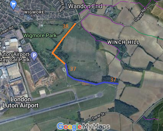
Annotated maps reproduced courtesy of Googlemaps.
 Project work in Luton relates to the completion of the boundary route on the north and eastern side of the Borough [the south and west sides fall in Central Bedfordshire] and helping Luton Borough Council with completing a definitive map for the formerly excluded area. There are several paths that change status at the Borough boundary, and which we aim to make consistent through negotiation and research. Changes sought are listed below, but we acknowledge good work by the Borough Council in achieving the orbital and cross paths too.
- upgrading Luton 39 FP to BW (needs minor physical works, signage, and recording) (Luton Orbital Eastern)
- recording Luton 38 FP to BW (no physical works) (Luton Orbital Eastern)
- recording Luton path as BW/RB (no physical works) (Luton Orbital Eastern)
- Link from Luton 15 BW to Luton 16 BW (alt to Luton 15 FP) (Luton E-W Cross Path)
- Upgrade Luton 3 FP to BW (Luton Orbital Northern)
- Luton 21 FP upgrade to BW/RB
- Luton 22 FP upgrade to BW
- Add route from Luton 33 BW to Luton 34 BW (Luton Orbital Northern) (Icknield Way Riders' Route)
