Paths Greenways Bridleways Tracks
 PG: OBJECTS: PROMOTION: LUTON: Luton 39 (in Wigmore Ward)
Luton Orbital Bridleroute: Anti-clockwise: Luton unrecorded and Offley 39. Clockwise: Luton 38.  LOB 
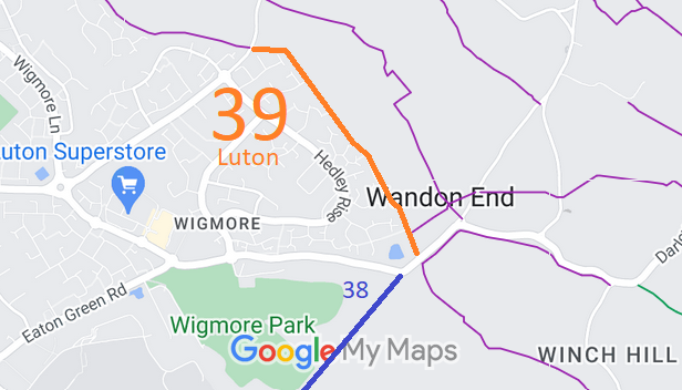
Map showing recorded Hertfordshire paths
Annotated map reproduced courtesy of Googlemaps.
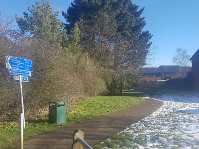
This route starts from Luton Road (public road) opposite Offley 39 and head generally southwards to Wigmore Lane (public road), not far from Luton 38 ridden route.

Photograph of Luton 39
View from Luton Road
Photo: Phil Wadey, 3 Feb 2019
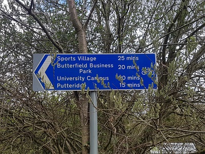
This is a pleasant path with a hard surface for walkers and cyclists and a wide grassed area that would be suitable for riders. Photograph of Luton 39
Sign at Wigmore Lane end
Photo: Phil Wadey, 3 Apr 2022
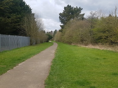
Photograph of Luton 39
View N from Wigmore Lane end
Photo: Phil Wadey, 3 Apr 2022
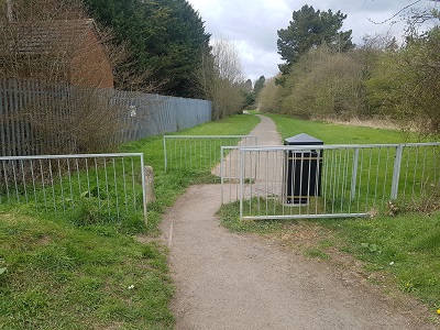
Photograph of Luton 39
Barriers at Wigmore Lane
Photo: Phil Wadey, 3 Apr 2022

Legal History
1 Nov 1953: Offley 39 was recorded as a bridleway on the original Hertfordshire definitive map and statement. DM sheet DM4-29 (Herts 11 SW), DM4-37 (Herts 19 NW) and DM4-38 (Herts 19 NE).
15 Mar 2024: The owner of the land is Luton Borough Council, under titles BD171471 and BD171019.
Former Hertfordshire Definitive Statement (1 Nov 1953)
Path: [Offley] 39.  Recorded Status: Bridleway.  Definitive Map sheets: XI SW, XIX NW NE
Commences from parish boundary at junction with FP 8 thence generally S and SE along boundary, across Cockernhoe Green - Luton road to join Kings Walden - Luton road SW of Wandon End Farm.

This statement pre-dates the county boundary change that put the route in Bedfordshire.

Maintainability
This route is maintainable at the public expense because it was a footpath or bridleway existing before 30 Apr 1959.

© 2026 Patchetts Green Bridleways Trust.

Stats2

File reference: EL004.