Paths Greenways Bridleways Tracks
 PG: OBJECTS: PROMOTION: LUTON: Luton 38 (in Wigmore Ward)
Luton Orbital Bridleroute: Anti-clockwise: Luton 39. Clockwise: Luton 37.  LOB 
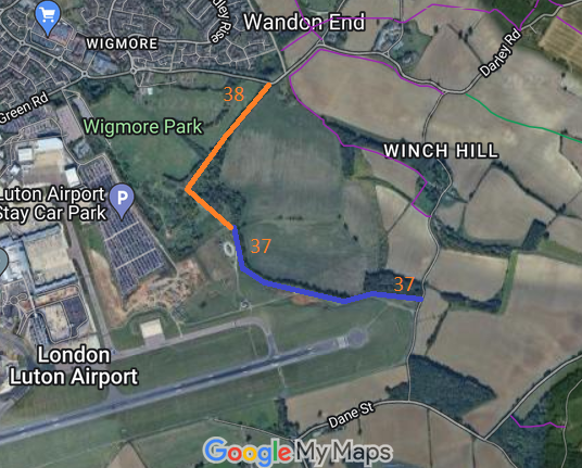
Map showing recorded Hertfordshire paths
Annotated map reproduced courtesy of Googlemaps.
The ridden route starts as Luton 38 at a junction with Wigmore Lane / Darley Road (public road), and heads southwestwards along a defined track then southeastwards to a junction with Luton 28x ridden route, which leads onwards to Luton 37 bridleway and thence Winch Hill Road.

At the time of the BHS 2022 Access Survey (3 Apr 22), it was signposted 'public bridleway' at each end. There was a gate with a space to the side at the northern end. Vegetation was nicely trimmed back at the sides of the route.
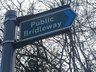
Photograph of Luton 38
BW Sign at Wigmore Lane
Photo: Phil Wadey, 3 Apr 2022
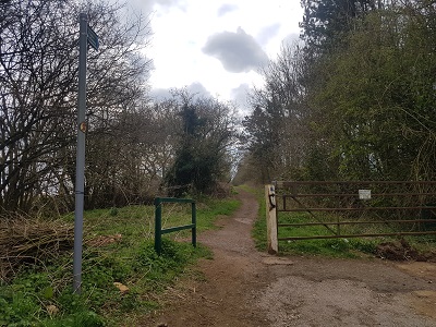
Photograph of Luton 38
View from Wigmore Lane
Photo: Phil Wadey, 3 Apr 2022
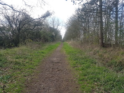
Photograph of Luton 38
Heading SW
Photo: Phil Wadey, 3 Apr 2022
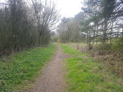
Photograph of Luton 38
Continuing SW
Photo: Phil Wadey, 3 Apr 2022
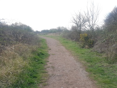
Photograph of Luton 38
Approaching BW 28x
Photo: Phil Wadey, 3 Apr 2022
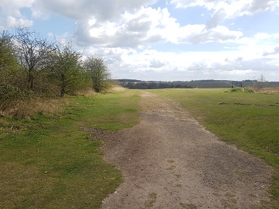
Photograph of Luton 38
Junction with BW 28x
Photo: Phil Wadey, 3 Apr 2022

Legal History

© 2023 Patchetts Green Bridleways Trust. File reference: EL001.

Stats2