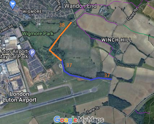
Annotated map reproduced courtesy of Googlemaps.
Note this is not the definitive alignment of Luton 28, but is perfectly acceptable for walkers, riders and cyclists.
At the time of the BHS 2022 Access Survey (3 Apr 22), it was signposted 'public bridleway' at the junction with the public road. The southeastern end opened to the road with a vertical post (an iron girder) in the middle, but plenty of space either side for horses. Vegetation was nicely trimmed back at the sides of the route.
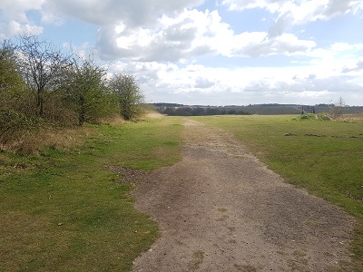
From Luton 37
Photo: Phil Wadey, 3 Apr 2022
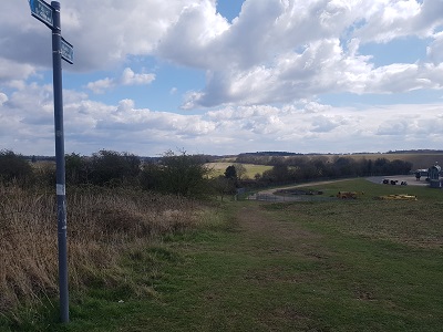
BW sign and looking SE
Photo: Phil Wadey, 3 Apr 2022
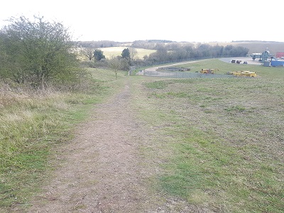
Continuing SE
Photo: Phil Wadey, 3 Apr 2022
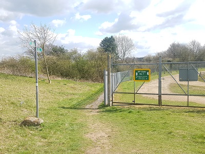
BW sign at Airport boundary
Photo: Phil Wadey, 3 Apr 2022
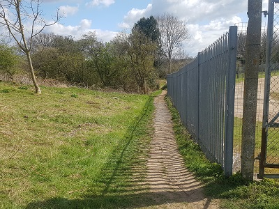
Parallel to Airport Boundary
Photo: Phil Wadey, 3 Apr 2022
