Paths Greenways Bridleways Tracks
 PG: OBJECTS: PROMOTION: Streatley (Bedfordshire) 3
Luton Orbital Bridleroute: Anti-clockwise: Streatley 3 (eastern section). Clockwise: Streatley 23.  LOB 
Icknield Way (Hertfordshire East section): To the Ridgeway: Streatley 3 bridleway. To the Peddars Way: Streatley 23 restricted byway.  IWRR 
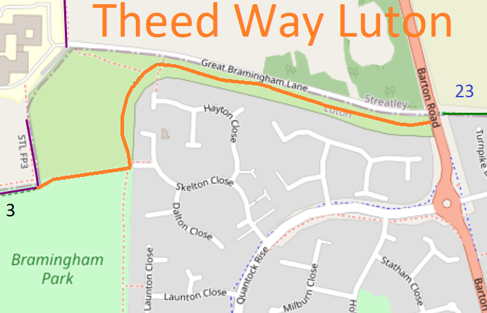
Map showing recorded paths
Map data from © OpenStreetMap and Central Bedfordshire Council.
This path starts from the junction of the Streatley 3 eastern and northern sections and continues eastwards, northwards then eastwards to end on the A6 Barton Road (public road) almost opposite Streatley 23 restricted byway.

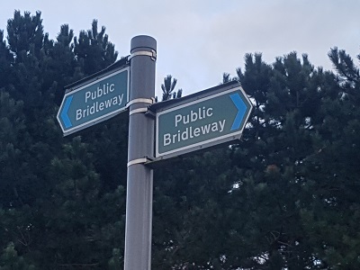
At the time of the 2023 Access Survey (21 Mar 23), no gates were across the path and it was signposted at each end.

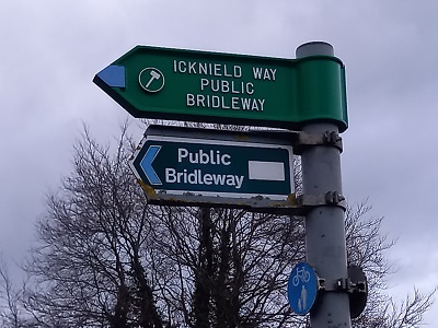
Photograph of sign at junction with Streatley 3
Signs at junction with Streatley 3
Photo: Phil Wadey, 21 Mar 2023
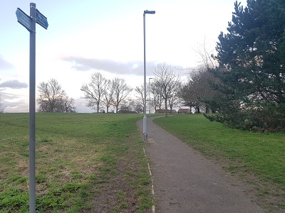
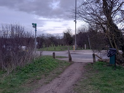
Photograph of Theed Way path Luton
View East from Streatley 3
Photo: Phil Wadey, 21 Mar 2023
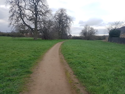
Photograph of Theed Way path Luton
Turning Northwards
Photo: Phil Wadey, 21 Mar 2023
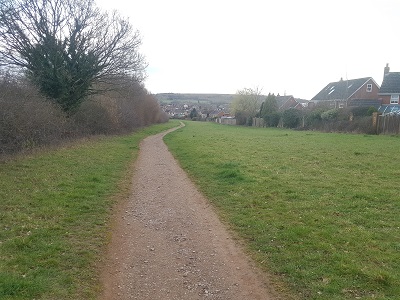
Photograph of Theed Way path Luton
Turning Southeastwards
Photo: Phil Wadey, 21 Mar 2023
Photograph of Theed Way path Luton
Across A6 to Streatley 23
Photo: Phil Wadey, 21 Mar 2023
Photograph of Theed Way path signage Luton
Signage at A6 Bedford Road
Photo: Phil Wadey, 21 Mar 2023

Legal History
19 Jan 1996: The route is shown as Streatley 3 footpath on the Definitive Map and Statement for the Former Borough of Dunstable, the Borough of Luton and the Former Leighton Buzzard and Linslade Urban and Luton Rural Districts. Map sheet 20.
Definitive Statement
Path: [Streatley] 3.  Recorded Status: Footpath/Bridleway.
From: New Bedford Road - North Map Ref. 528 459
To: Parish Boundary at Map Ref 511 456 (continuing to Chalton)

The path is a footpath/bridleway.

It starts at New Bedford Road - North on LHS (at map ref. 528 459) and goes west for approx. 550 yards, it then turns west, south west, to Great Bramingham Farm. Up to this point the road is publicly made up and has a good metalled surface. The path continues in a southerly direction past the farm buildings then makes a right-angled turn to the west following the northern edge of Field No OS 29. It then resumes at a point approximately 20 yards north at the eastern end of Luton Bridleway No 32 and from this point it continues in a westerly direction with an average width of 4 metres along the line of the bridleway to a point north of Great Bramingham Wood and thence reverts to the status of footpath and continues in a westerly direction to the parish boundary (at map ref. 511 456).

Approx. length within parish = 1 1/4 miles.

Nature of surface within parish = Good metalled road from main road to farm entrance. Remainder earth surface cut up by farm tractors. Path is generally used by farmers and occasional hikers and general public.

Signpost is on RHS of New Bedford Road - North stating:- "Chalton" "Gt. Bramingham".
© 2023-2026 Patchetts Green Bridleways Trust.

Stats2