
- Hexton 1 BW, Icknield Way to road at Mortgrove
- Hexton 2 BW, from Lilley Road to Streatley Road
- Hexton 3 and Shillington 3 BW, from Pirton Road to Icknield Way and Lilley 9 BW
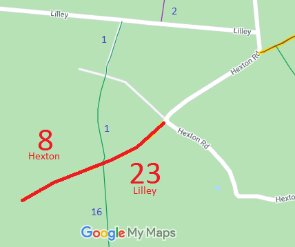
- Hexton 8 and Lilley 23 Byway, from BW 18 (Beds) along Icknield Way to Hexton Road
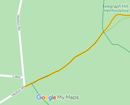
- Hexton 10 and Lilley 24 Byway, from Lilley to Hexton Road up Telegraph Hill to Shillington 61 Byway
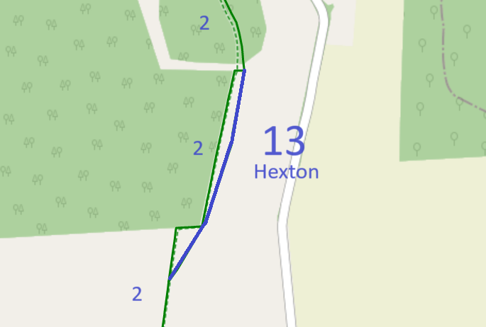
- Hexton 13 BW, from one part of Hexton 2 BW to another
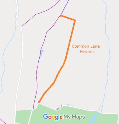
- Hexton, Common Lane
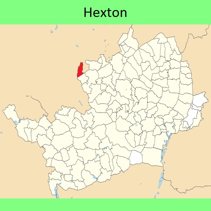
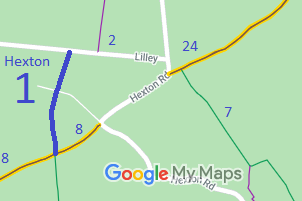
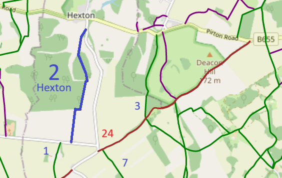
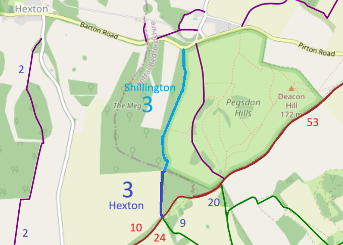
Annotated maps reproduced courtesy of Googlemaps.


 Local Government: Formerly within Hitchin Rural District.
From 1974, part of North Hertfordshire district.
Inclosure (1767). Inclosure (Cow Common) (1872). Tithe (1837) DSA4/52/2.
 Rights of Way Improvement Plan suggestions:
Link between Hexton 1 BW and Hexton 2 BW, to get horses off the road.
Hexton 5 upgrade FP to BW to join cul-de-sac BW in Bedfordshire.

