
- Flamstead 22 BW from A5 to Delmerend Lane
- Flamstead 27 BW from Trowley Farm Lane to Delmerend Lane
- Flamstead 36 BW from Trowley Bottom to Valley Lane
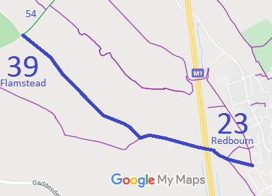
- Flamstead 39 BW from Green Lane to parish boundary NW of Church End
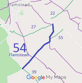
- Flamstead 54 BW from BW39 and Green Lane to Delmerend Lane
- Flamstead 55 BW from BW54 to Delmerend Lane
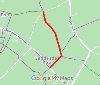
- Flamstead 57 and Great Gaddesden 82 RB from Gaddesden Row to Beechwood Lane (Babies Wood)
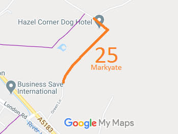
- Flamstead 58 and Markyate 25, Green Lane
- Flamstead 59 and Great Gaddesden 73 BOAT from Clements End Road, Jockey End, to Beechwood Lane.
- Flamstead Roe End Lane
- Flamstead Green Lane off Puddephats Lane
- Flamstead X1 Half Moon Lane to Pepsal End Road
- Flamstead X2 Half Moon Lane to Windmill Road
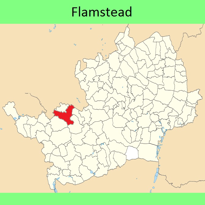
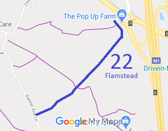
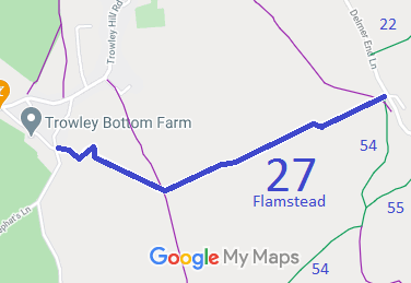
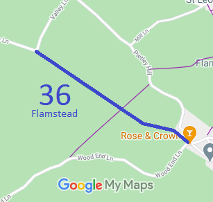
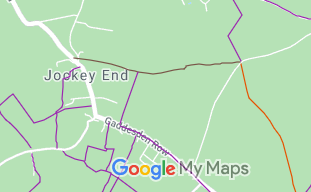
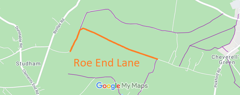
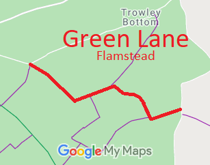
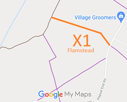
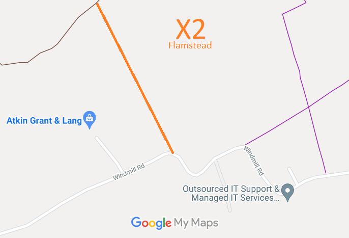
Annotated maps reproduced courtesy of Googlemaps.


 Local Government: Formerly within Hemel Hempstead Rural District. From 1974, part of Dacorum District.
Tithe (c1838) DSA4/38/2.

