Paths Greenways Bridleways Tracks
 PG: OBJECTS: PROMOTION: Flamstead 39 and Redbourn 23
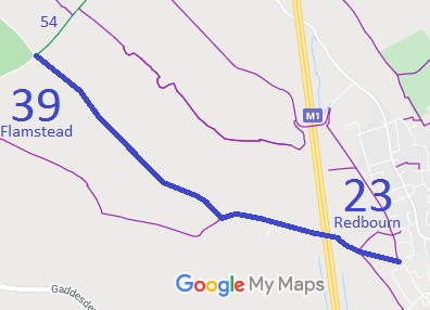
Map showing Flamstead 39
Annotated map reproduced courtesy of Googlemaps.
This route starts at Flamsteadbury Lane, Redbourn, and runs generally northeastwards over the M1 motorway to a junction with Green Lane (public road) and Flamstead 54 bridleway.

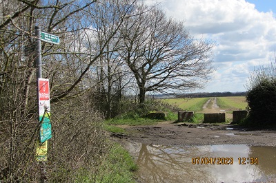
At the time of the BHS 2023 Access Survey (7 Apr 23), there were stones with gaps at the northwestern end and a (potentially unlawful) locked gate with a space to the side. The route was signposted at each end and at the parish boundary. The sign at the southeastern end was covered in vegetation. The photographs were taken starting at the northwestern end heading southeastwards.
Photograph of Flamstead 39
Sign from road
Photo: Brian Worrell, 7 Apr 2023
Photograph of Flamstead 39
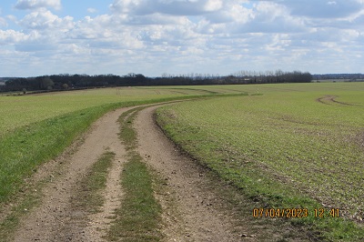
Continuing Southeast
Photo: Brian Worrell, 7 Apr 2023
Photograph of Flamstead 39
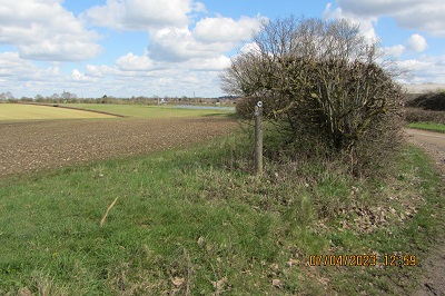
Waymark at FP junction; path on right
Photo: Brian Worrell, 7 Apr 2023
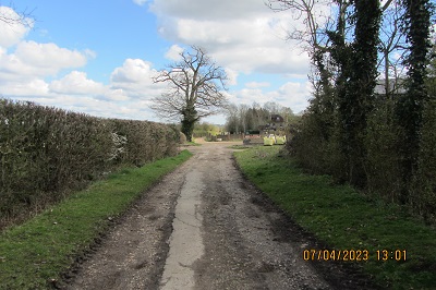
Photograph of Flamstead 39
Continuing Southeast
Photo: Brian Worrell, 7 Apr 2023
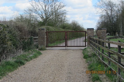
Photograph of Flamstead 39
Gate (space to side)
Photo: Brian Worrell, 7 Apr 2023
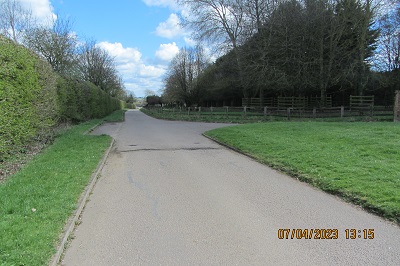
Photograph of Flamstead 39
Continuing Southeast
Photo: Brian Worrell, 7 Apr 2023
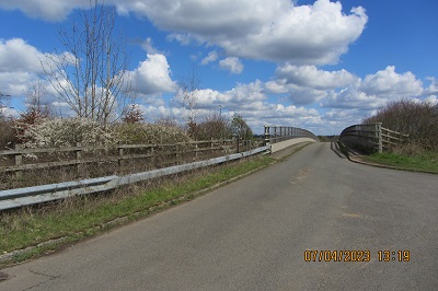
Photograph of Flamstead 39
Continuing SE over Motorway Bridge
Photo: Brian Worrell, 7 Apr 2023
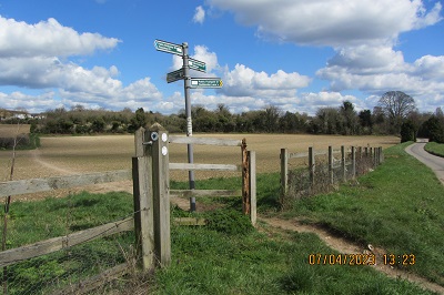
Photograph of Flamstead 39
Signs at Parish Boundary
Photo: Brian Worrell, 7 Apr 2023
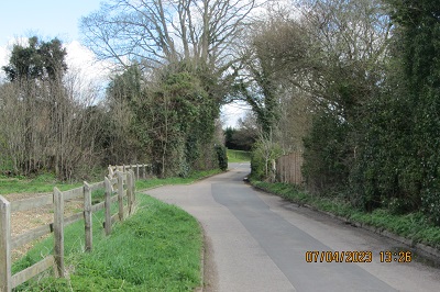
Photograph of Redbourn 23
Continuing SE to road
Photo: Brian Worrell, 7 Apr 2023
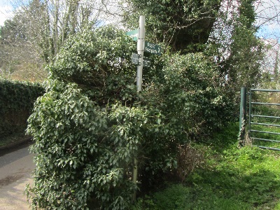
Photograph of Redbourn 23
Sign at East end; path on left
Photo: Brian Worrell, 7 Apr 2023

Legal History
20 Jun 1953: Flamstead 39 and Redbourn 23 were recorded as bridleways on the original definitive map and statement. DM sheet DM3-13.
31 Dec 1977: Flamstead 39 and Redbourn 23 were shown as bridleways on the special review draft map and statement. DM sheet SR-54.
Part of Flamstead 39 was diverted by The M1 London to Yorkshire Motorway (Widening Junctions 6A to 10 Side Roads) Order 2003.
Definitive Statement (4 Dec 2015)
Path: [Flamstead] 39.  Status: Bridleway.  Definitive Map sheet: 54
Commences from sharp bend in county road - Green Lane thence SE past Flint Cottages to join FP40 thence E to N of Flamsteadbury Farm to TL 0948 1218 then generally E over the M1 for approx 235m to TL 0969 1209 and continuing SE to parish boundary NW of Church End. The Bridleway between TL 0948 1218 and TL 0969 1209 is coexistent with a new private means of access (which includes vehicular rights).

Path: [Redbourn] 23.  Status: Bridleway.  Definitive Map sheet: 54
Commences from Mansdale, Flamsteadbury Lane thence NW to parish boundary at Flamsteadbury Drive.

© 2023 Patchetts Green Bridleways Trust.

Stats2