
- Redbourn 23 and Flamstead 39 BW, from Green Lane to Flamsteadbury Lane
- Redbourn UCR1, from Beaumont Hall Lane to Hill Farm Lane
- Redbourn Hill Farm Lane continuation from Hill Farm west to M1 motorway
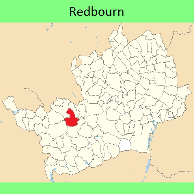
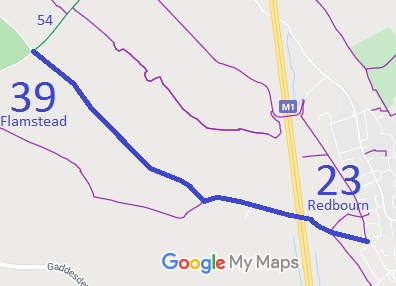
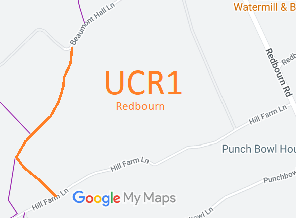
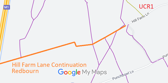
Annotated maps reproduced courtesy of Googlemaps.


 Local Government: Formerly within St Albans Rural District. From 1974, part of St Albans City and District.
Tithe (1841) DSA4/79/2.
 The Redbourn Parish Council is preparing a Neighbourhood Development Plan, which when made will count as part of the Local Development Plan when planning applications are considered.
The Plan includes:
- Para 8.2 acknowledges, "Horse riding is also still active within the parish."
- Policy 'PROJECT RED E: WALKING AND CYCLING ROUTES' item 4 says, "Proposals which seek to improve the usage of the Nickey Line for pedestrians and cyclists will generally be supported. Equestrian use of the Nickey Line should be maintained, with off road rights of way facilities and contributions to these for horse-riding sought where appropriate."
- Policy "RED 9: ACTIVE TRAVEL" item 2 includes, "Wherever possible, new routes should be dedicated as public rights of way" and item 5 reads, "Where appropriate, proposals for development should implement, as far as practicable, measures within Local Walking and Cycling Infrastructure Plans and most recent edition of the HCC Rights of Way Improvement Plan."

