
- Bovingdon 6 RB, spur off Bovingdon 7 BOAT
- Bovingdon 7 BOAT, Bovingdon Road to Shantock Lane
- Bovingdon 9 BW/BOAT, Bovingdon Road to road at county boundary
- Bovingdon 20 BOAT, Stoney Lane
- Bovingdon 26 and 33 BW, from Bovingdon 35 to Upper Bourne End Lane
- Bovingdon 30 BW, from Upper Bourne End Lane to Hempstead Road
- Bovingdon 32 and 37 BW and Hemel Hempstead 115 Byway, from London Road via bridge over A41 to Upper Bourne End Lane
- Bovingdon 35, Ashley Green 8 and Berkhamsted 52 BW, White Hill to Berkhamsted 52 BW
- Bovingdon 36 and Ashley Green 13A, White Hill to Berkhamsted 52
- Bovingdon 37 BW - see Bovingdon 32
- Bovingdon BMP1 Permissive bridleway, from Box Lane to parish boundary
- Bovingdon BFR Bushfield Road, from Hempstead Road to Stoney Lane BOAT 20
- Bovingdon SHW Shothanger Way and Bury Rise, from Stoney Lane BOAT 20 to Box Lane
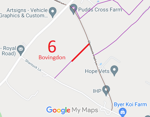
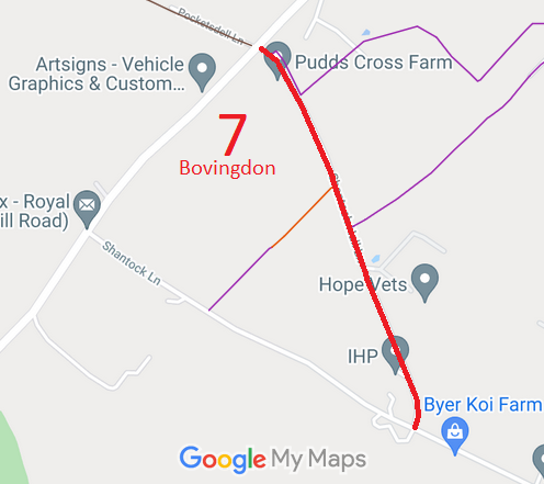
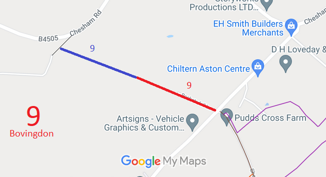
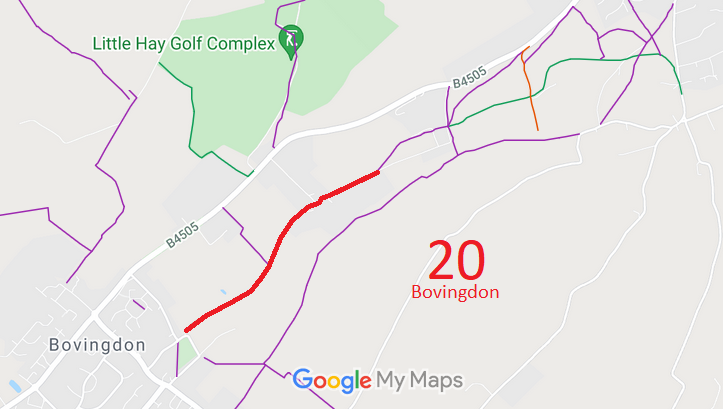
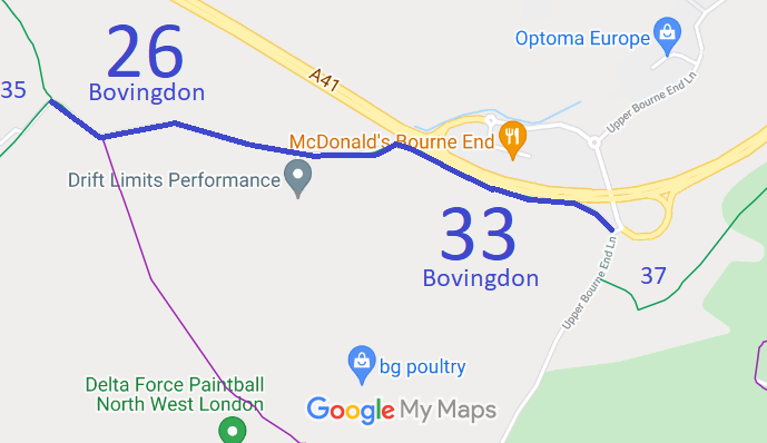
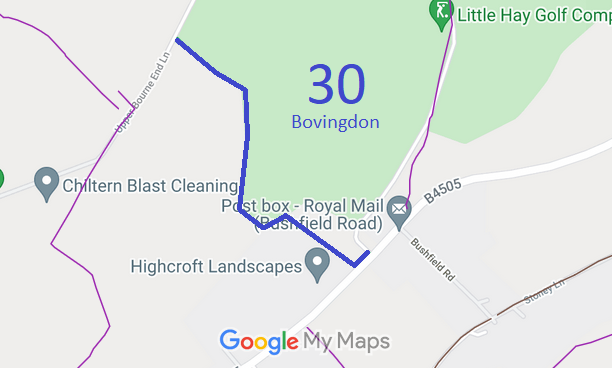
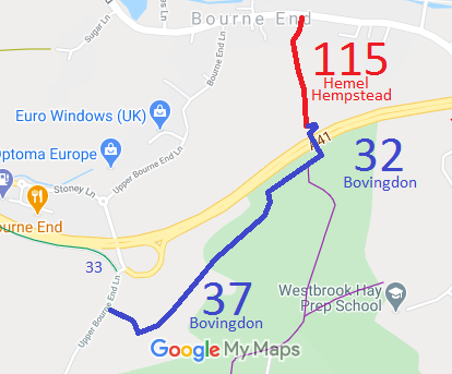
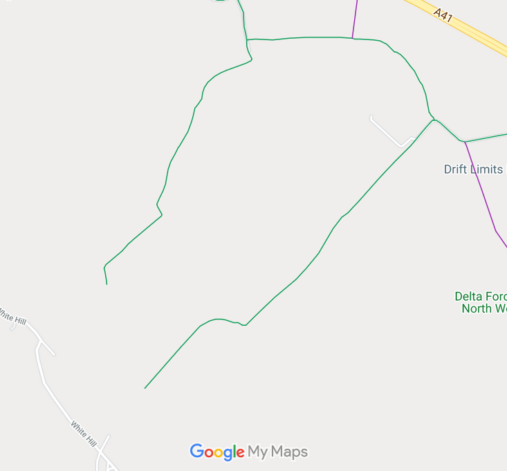
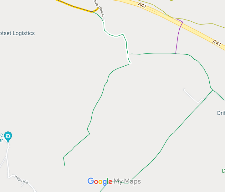
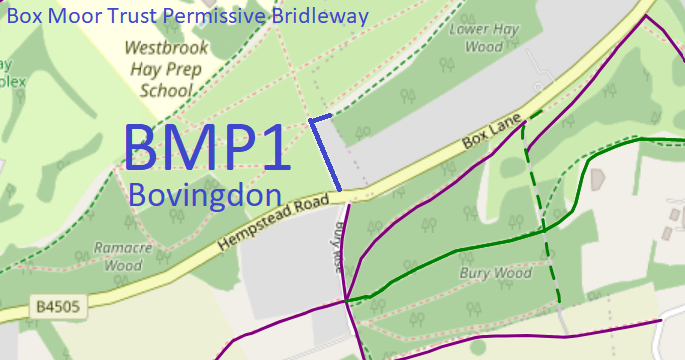
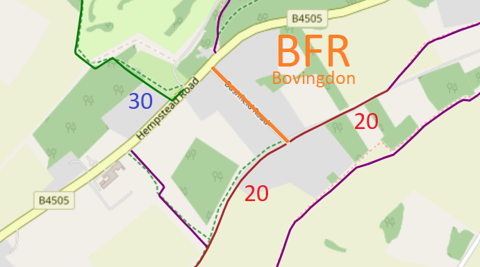
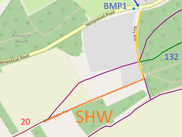
Annotated maps reproduced courtesy of Googlemaps.


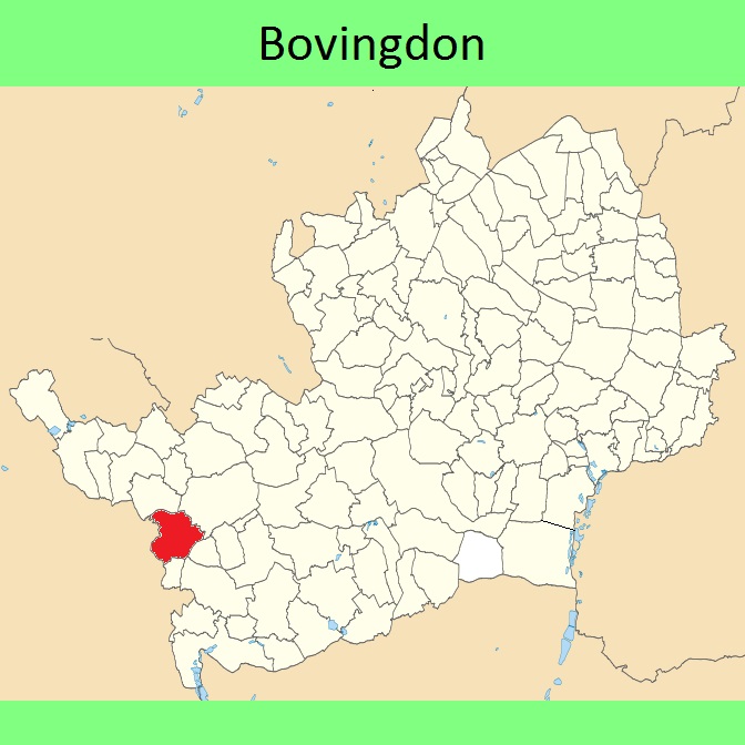
 Local Government: Formerly within Hemel Hempstead Rural District. From 1974, part of Dacorum District.
Tithe (c1838) DSA4/22/2.
 The Bovingdon Parish Council area was designated as a 'neighbourhood' for the purposes of creation a Neighbourhood Development Plan in 2018. A DRAFT Neighbourhood Development Plan has been created on which comments are requested by 17 Feb 23.
 To resolve DM anomalies: upgrade Bovingdon 6 FP to RB, upgrade Bovingdon 9 BW to RB, add link from Bovingdon 16 FP to Hemel Hempstead 109 RB.

