Paths Greenways Bridleways Tracks
 PG: OBJECTS: PROMOTION: Bovingdon Bushfield Road
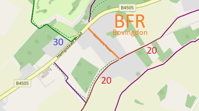
Map showing recorded paths
Map data from © OpenStreetMap and Hertfordshire County Council.
Bushfield Road is a road that can be used by riders to get from Bovingdon 20 Byway (Stoney Lane) to Hempstead Road not far from Bovingdon 30 bridleway.

At the time of the BHS 2023 Access Survey (4 Feb 23) there were no obstructions to use of the path. There was a 'private road' sign at the northern end.
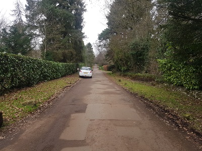
Photograph of Bushfield Road, Bovingdon
View from Bovingdon 20
Photo: Phil Wadey, 4 Feb 2023
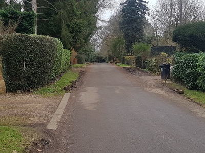
Photograph of Bushfield Road, Bovingdon
Continuing northwards
Photo: Phil Wadey, 4 Feb 2023
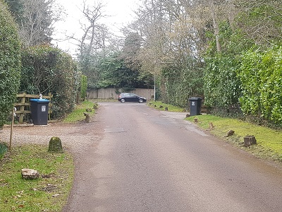
Photograph of Bushfield Road, Bovingdon
Continuing northwards
Photo: Phil Wadey, 4 Feb 2023
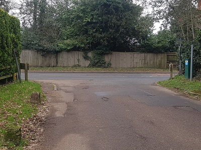
Photograph of Bushfield Road, Bovingdon
Junction with Hempstead Road
Photo: Phil Wadey, 4 Feb 2023
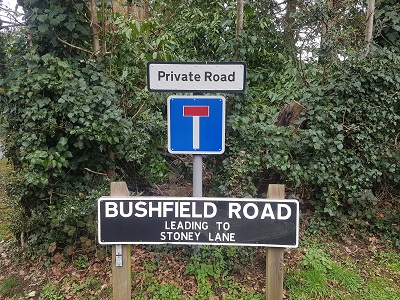
Photograph of Bushfield Road, Bovingdon
Sign at Northern end
Photo: Phil Wadey, 4 Feb 2023

Legal History

© 2023 Patchetts Green Bridleways Trust.

Stats2