Paths Greenways Bridleways Tracks
 PG: OBJECTS: PROMOTION: Stevenage 104 and Aston 32 BW
Stevenage Horse and Pony Route: Anti-clockwise: Lanterns Lane West. Clockwise: Stevenage 118 bridleway. Clockwise (alternative route): Lanterns Lane (public road) and Long Lane.  SHPR 
Map showing Stevenage 104 and Aston 32 bridleways
Annotated map reproduced courtesy of Googlemaps.
This route starts from The White Way (public road), opposite Chells Lane (public road), and continues generally southeastwards before turning southeastwards then southwards, past a junction with the Stevenage Horse and Pony Route, then continues southwards under Gresley Way to a junction with Lanterns Lane (public road).

At the time of the BHS 2023 Access Survey (3 Sep 23), performed south to north, the bridleway was unobstructed. It was signposted only at the southern end. There is no waymark where the Stevenage Horse and Pony Route continues southwards.
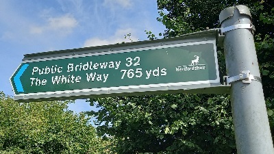
Aston 32 sign at Lanterns Lane

Sign at junction with Lanterns Lane
Photo: Phil Wadey, 3 Sep 2023
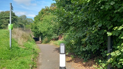
Aston 32 from Lanterns Lane View from Lanterns Lane
Photo: Phil Wadey, 3 Sep 2023
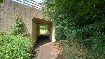
Photograph along Aston 32 Gresley Way Underbridge
Photo: Phil Wadey, 3 Sep 2023
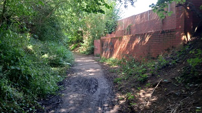
Photograph along Stevenage 104 Continuing northwards
Photo: Phil Wadey, 3 Sep 2023
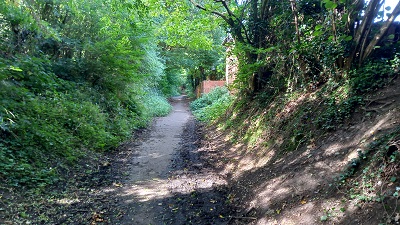
Photograph along Stevenage 104 Continuing northwards
Photo: Phil Wadey, 3 Sep 2023
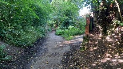
Photograph along Stevenage 104 Continuing NW. Keep left.
Photo: Phil Wadey, 3 Sep 2023
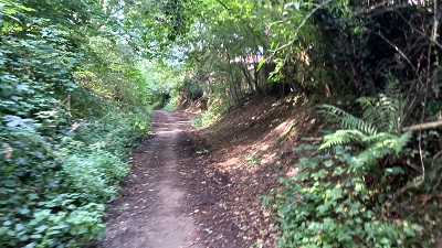
Photograph along Stevenage 104 Continuing NW
Photo: Phil Wadey, 3 Sep 2023
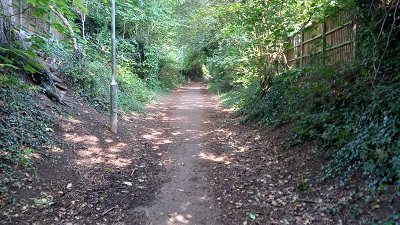
Photograph along Stevenage 104 Continuing NE
Photo: Phil Wadey, 3 Sep 2023
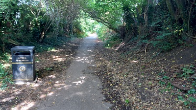
Photograph along Stevenage 104 Continuing NE
Photo: Phil Wadey, 3 Sep 2023
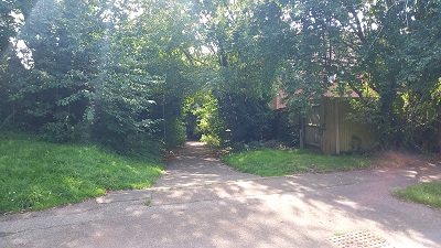
Photograph along Stevenage 104 View SW from The White Way
Photo: Phil Wadey, 3 Sep 2023

Legal History
1 Sep 1985: Lanterns Lane (East) stopped up reserving bridleway rights by Stevenage Magistrates Court.
13 Dec 2002: The Hertfordshire County Council (Stevenage 104 and Aston 32) Legal Event Modification Order 2002 added Lanterns Lane (East) to the definitive map as a bridleway.
3 Sep 2023: Lack of public bridleway sign at northern end reported to Hertfordshire County Council, reference 401003646928.
Definitive Statement (4 Dec 2015)
Path: [Stevenage] 104.  Status: Bridleway.  Definitive Map sheets: 22 and 30
Lanterns Lane. Commences from The White Way approx. 20m east of Harvest Lane (TL 2660 2517) then runs SW for approx. 115m to TL 2654 2506 then runs SE for approx. 520m through the subway under the Gresley Way to the parish boundary at TL 2682 2464. Continues as Aston 32.
Limitations: None

Path: [Aston] 32.  Status: Bridleway.  Definitive Map sheet: 30
Lanterns Lane. Commences from Stevenage 104 at the parish boundary (TL 2682 2464) and runs SE for approx. 40m to TL 2682 2461 where Lanterns Lane continues at a County Road.

© 2022 Patchetts Green Bridleways Trust.

Stats2