
- Stanstead Abbots 4, Hunsdon 7 and Ware Rural 38
- Stanstead Abbots 16 and 18 from Cappell Lane to Hunsdon Road
- Stanstead Abbots 17 from Cappell Lane to parish boundary
- Stanstead Abbots 19 from Roydon Road to Path 11
- Stanstead Abbots 20 and Hunsdon 2
- Stanstead Abbots 21 and Hunsdon 23
- Stanstead Abbots LVP1 from BW 19 to Marsh Lane
- Stanstead Abbots 11 "Toll Road"
- Stanstead Abbots ML Marsh Lane
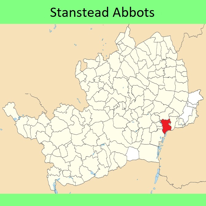



 Local Government: Formerly within Ware Rural District. From 1974, part of East Hertfordshire District.
Tithe (1840) DSA4/97/2. Inclosure (1865).

