Paths Greenways Bridleways Tracks
 PG: OBJECTS: PROMOTION: Stanstead Abbots 11
London Orbital Bridleroute: Anti-clockwise: Stanstead Abbots 19. Clockwise: B181 to Roydon and into Essex.  H25 
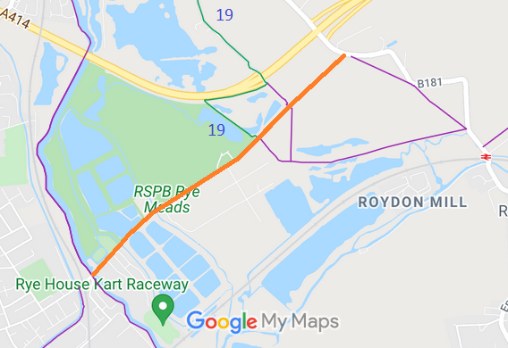
Map showing recorded Stanstead Abbots paths
Annotated map reproduced courtesy of Googlemaps.
This route starts on Roydon Road (B181) and runs generally southeastwards to a junction with Stanstead Abbots 19 bridleway, then continues generally southeastwards to end on Rye Road.

At the time of the BHS 2023 Access Survey (26 Nov 23), the only obstructions were the toll ages, but there is sufficient space to the side for walkers, riders and cyclists. The path was signposted as a footpath at Rye Road, but a bridleway joins this path.
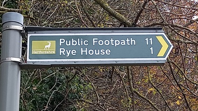
Stanstead Abbots 11 sign
Sign on Roydon Road
Photo: Phil Wadey, 26 Nov 2023
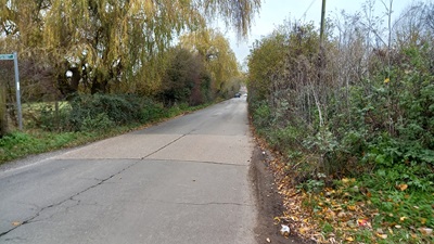
Stanstead Abbots 11 sign
Continuing SW along route
Photo: Phil Wadey, 26 Nov 2023
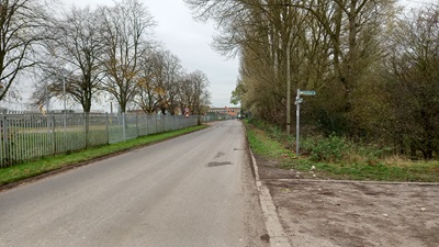
Stanstead Abbots 11 sign
Junction with Stanstead Abbots 19 BW
Photo: Phil Wadey, 26 Nov 2023
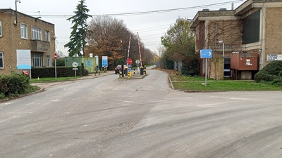
Stanstead Abbots 11 sign
Approaching Toll Barrier
Photo: Phil Wadey, 26 Nov 2023
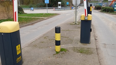
Stanstead Abbots 11 sign
Gap in Toll for walkers and riders
Photo: Phil Wadey, 26 Nov 2023
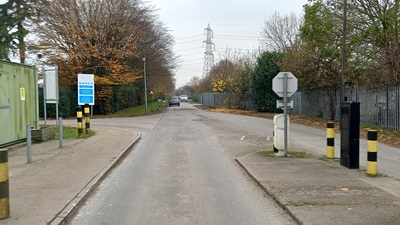
Stanstead Abbots 11 sign
Continuing SW along route
Photo: Phil Wadey, 26 Nov 2023

Legal History
2 Feb 1953: The route was recorded as a footpath on the original definitive map and statement. DM sheet DM2-33 (Herts 37 NW).
31 Dec 1977: The route was shown as a footpath on the special review draft map and statement. DM sheet SR-60 (TL31SE).
Definitive Statement (4 Dec 2015)
Path: [Stanstead Abbots] 11.  Status: Footpath.  Definitive Map sheets: 60 and 72
Commences from Roydon Road W of St James's Church thence SW along Toll Road across Rye Meads past FP10 and BR19 to Rye Road.
  Location Information
Postcode for SATNAV for anyone inspecting path: SG12 8JZ. This is to the SE of Rye Road.

© 2022 Patchetts Green Bridleways Trust. File reference: EC365.