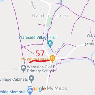
Annotated map reproduced courtesy of Googlemaps.
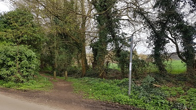
Caption A
Photo: Phil Wadey, 1 Apr 2021
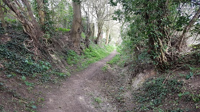
Caption B
Photo: Phil Wadey, 1 Apr 2021
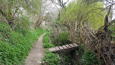
Caption C
Photo: Phil Wadey, 1 Apr 2021
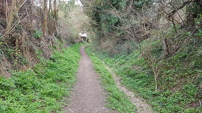
Caption D
Photo: Phil Wadey, 1 Apr 2021
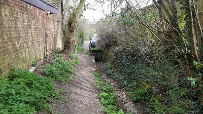
Caption E
Photo: Phil Wadey, 1 Apr 2021
| Paths Greenways Bridleways Tracks | ||
| PG: OBJECTS: PROMOTION: EAST HERTS: Wareside 57 | ||
Annotated map reproduced courtesy of Googlemaps. |
Wareside 57 is currently recorded as a footpath. An application has been made to record it as a restricted byway. | |||
|
Caption A Photo: Phil Wadey, 1 Apr 2021 |
Caption B Photo: Phil Wadey, 1 Apr 2021 |
Caption C Photo: Phil Wadey, 1 Apr 2021 |
Caption D Photo: Phil Wadey, 1 Apr 2021 |
Caption E Photo: Phil Wadey, 1 Apr 2021 |
|
| |||||||||||||||||||||||||||||||
© 2024 Patchetts Green Bridleways Trust.
File reference: EC1130.
