
- London Colney 1 RB, "Blinds Lane" from Shenley 35 BW to RB 2
- London Colney 2 RB, "Watery Lane" from Shenley Lane to High Street
- London Colney 4 and St Stephen 13, BW from Shenley Lane to Colney Street
- London Colney 37, from Shenley Lane to RB 2
- Waterside Village Green
- London Colney Watersplash, from Waterside to London Colney 2
- Permissive path from Shenley Road (near BW 4) to London Colney 2 byway.
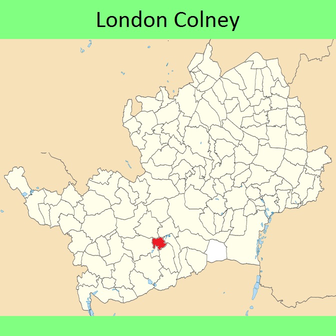
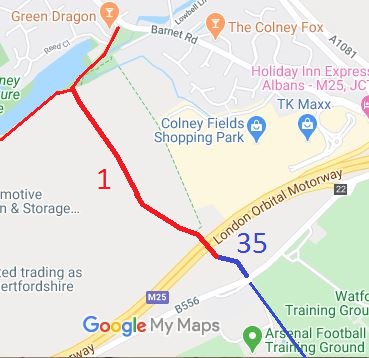
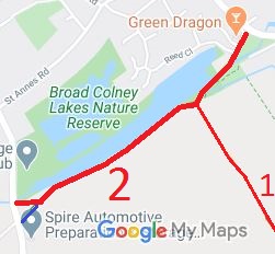
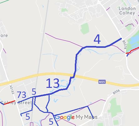
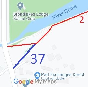
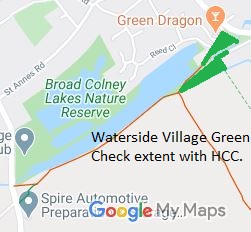
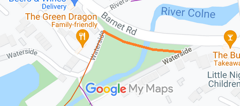
Annotated maps reproduced courtesy of Googlemaps.


 Local Government: Formerly within St Albans Rural District.
From 1974, part of the City and District of St Albans.
Tithe (St Albans St Peter) (c1840) DSA4/88/2.

