
- Weston 1 and Clothall 6, from Baldock to Clothall
- Weston 4 and Letchworth 37 BW
- Weston 14 BW, from Halls Green Lane to Weston 39 BOAT
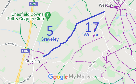
- Weston 17 and Graveley 5 BW
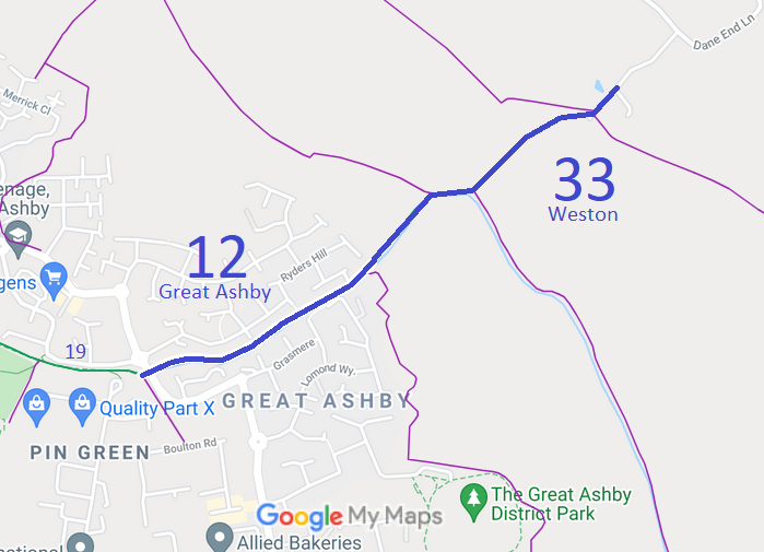
- Weston 33 and Great Ashby 12 BW
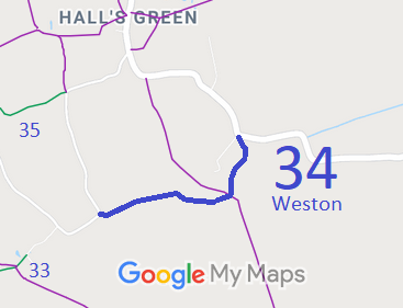
- Weston 34 BW, from Dane End Lane to the Halls Green to Cromer road
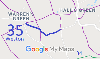
- Weston 35 BW, from Warrensgate Lane to Dane End Lane
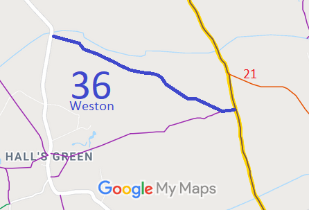
- Weston 36 BW, from the Church End to Halls Green road to Clothall 12 Byway
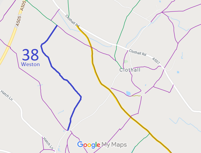
- Weston 38 BW, from Green End to Weston 1 BW
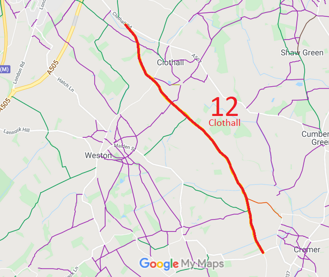
- Weston 39 and Clothall 12 BOAT
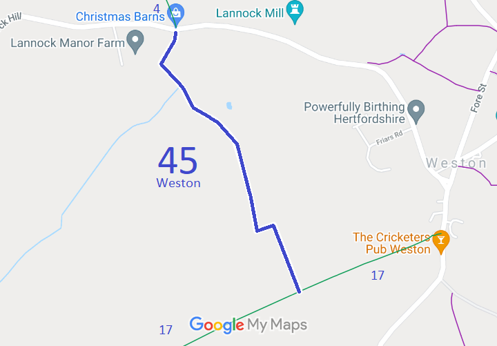
- Weston 45 BW, from Weston 17 BW to the Weston to Letchworth road
- Weston 48 BW, from Clothall Road to Weston 1 BW
- Weston 18 (part) & 40 and Graveley 9, from Church Lane to Damask Green Lane
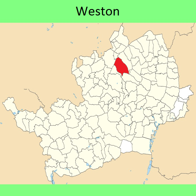
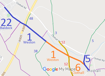
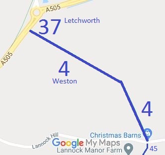
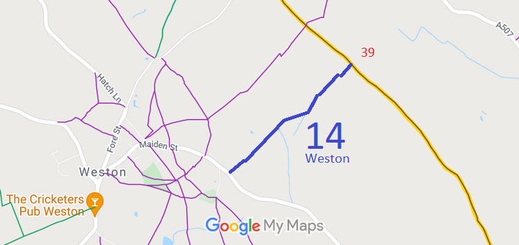
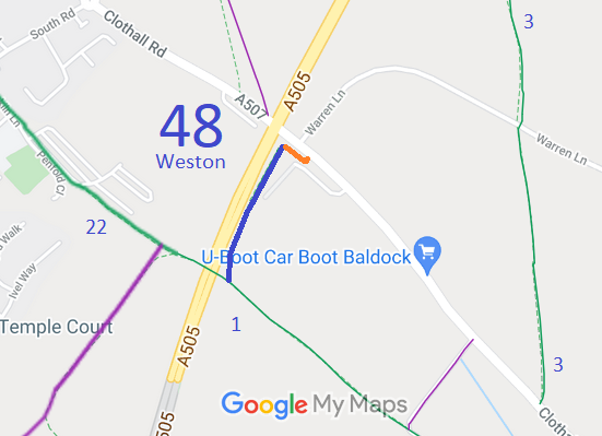
Annotated maps reproduced courtesy of Googlemaps.



 Local Government: Formerly within Hitchin Rural District. From 1974, part of North Hertfordshire District.
Inclosure (1797). Tithe (1847) HALS: 26875.

