Patchetts Green Bridleways Trust
 PG: OBJECTS: PROMOTION: St Stephen 1
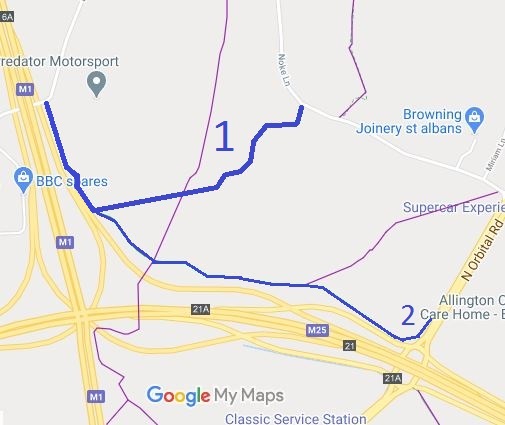
Map showing recorded Hertfordshire paths
Annotated map reproduced courtesy of Googlemaps.
This path runs from Blunts Lane, generally south parallel to the motorway connecting road to a waymarked junction with St Stephen 2 bridleway, then generally eastwards to Noke Lane.

At the time of the 2025 Access Survey (28 Aug 25), one gate was across the path but it had a space to the side (pictured). The route was signposted at each end.
Photograph of St Stephen 1 bridleway
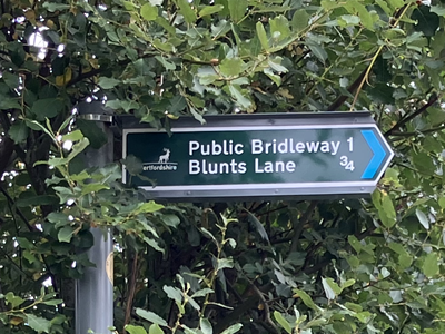
Sign on Noke Lane
Photo: Helen Taylor, 28 Aug 2025
Photograph of St Stephen 1 bridleway
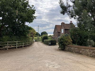
View from Noke Lane
Photo: Helen Taylor, 28 Aug 2025
Photograph of St Stephen 1 bridleway
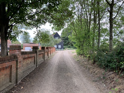
Continuing West along track
Photo: Helen Taylor, 28 Aug 2025
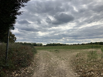
Photograph of St Stephen 1 bridleway
Path bears right across field
Photo: Helen Taylor, 28 Aug 2025
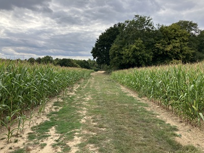
Photograph of St Stephen 1 bridleway
Route through crops
Photo: Helen Taylor, 28 Aug 2025
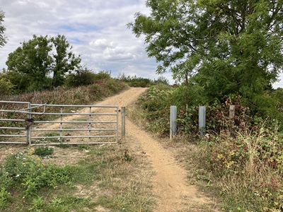
Photograph of St Stephen 1 bridleway
Northwards towards Blunts Lane
Photo: Helen Taylor, 28 Aug 2025
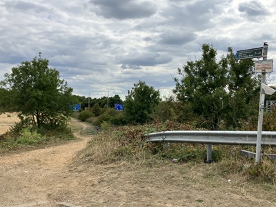
Photograph of St Stephen 1 bridleway
View South from Blunts Lane
Photo: Helen Taylor, 28 Aug 2025

Legal History
20 Jun 1953: St Stephen 1 was recorded as a bridleway on the original definitive map. DM sheet DM3-30.
Altered by the M25 construction work.
Definitive Statement (4 Dec 2015)
Path: [St Stephen] 1.  Recorded Status: Bridleway.  Definitive Map sheet: 76
Commences at junction with Blunt’s Lane at Grid Ref: TL1155 0378 and thence southeastwards alongside the connecting road to Grid Ref: TL1168 0349 thence SE skirting S boundary of Holt Wood thence NE across FP23 to Holt Farm thence NE past Farm to junction with Noke Lane.
Maintainability
This route is maintainable at the public expense because it was a footpath or bridleway existing before 30 Apr 1959.

© 2025 Patchetts Green Bridleways Trust.

Stats2