
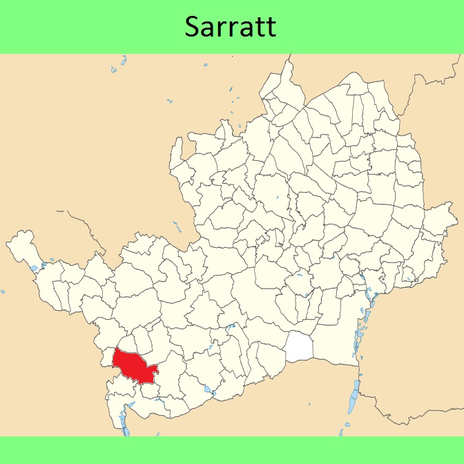
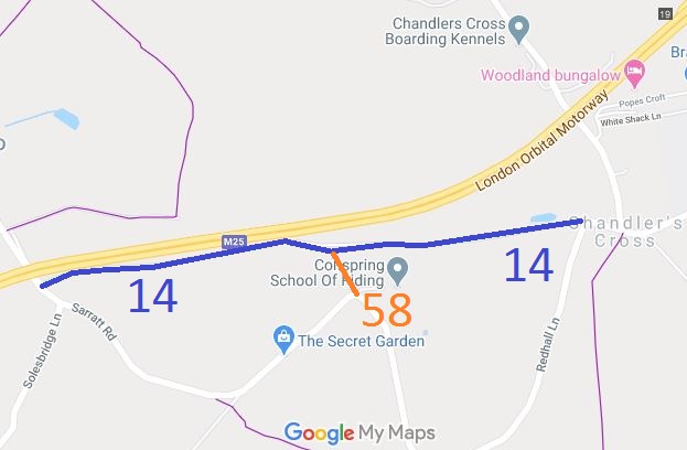
- Sarratt 14 BW, Sarratt Road to Chandler's Cross
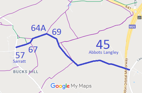
- Sarratt 57, 64A, 65, 69 and Abbots Langley 45 BW, Bucks Hill to Langleybury
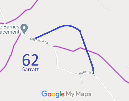
- Sarratt 62 BW, Ollieberrie Lane and Woodmans Wood
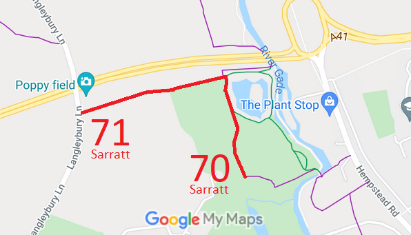
- Sarratt 70 and 71 RB, Langleybury Lane to The Grove
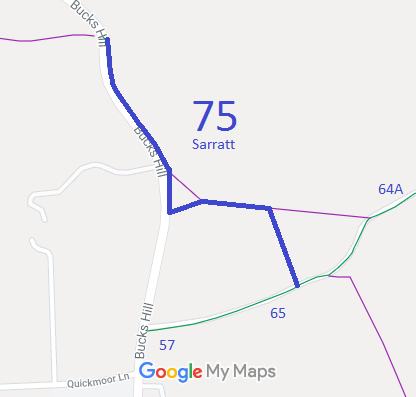
- Sarratt 75 BW, 'The Narrows'
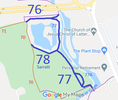
- Sarratt 76, 77, 77A, 78 BW, Various paths at The Grove
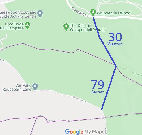
- Sarratt 79 and Watford 30 BW, Whippendell Woods
- Whippendell Woods Riding Track
- Sarratt 80 BW, 'The Memorial Track'
- CVBA Licensed Tracks (for permit holders only)
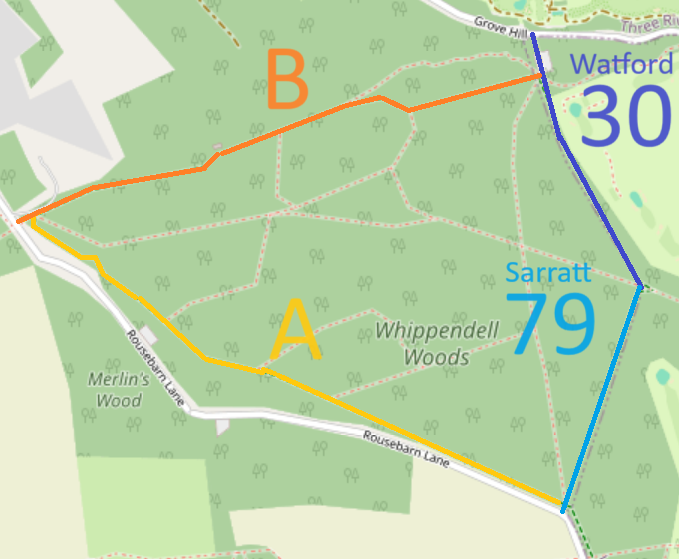
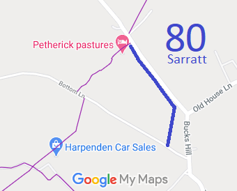
Annotated maps reproduced courtesy of Googlemaps.



 Local Government: Formerly within Watford Rural District. From 1974, part of Three Rivers District.
Tithe (1840) DSA4/92/2.

