
Sarratt 79 and Watford 30
Paths Greenways Bridleways Tracks
| PG: OBJECTS: PROMOTION: Sarratt and Watford: Whippendell Woods Circular Ride |
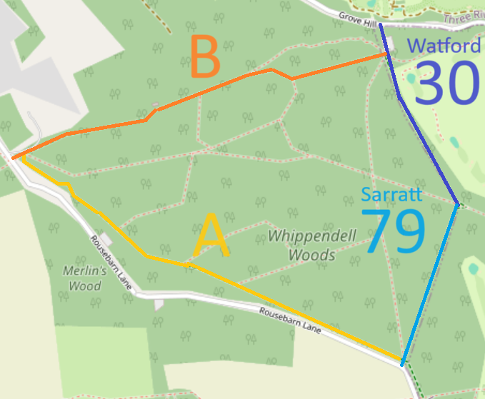 Annotated map reproduced courtesy of Googlemaps. |
This 3.15km circular riding route is provided by Watford Borough Council. It has one access point on Grove Mill Lane (public road) and two on Rousebarn Lane (public road). The route, shown orange and blue on the plan, includes Sarratt 79 and Watford 30 and a portion of Sarratt 16.
At the time of the 2024 Access Survey (25 Feb 24), the path could be used throughout. There were horse stiles in two places, but both had gaps to the side rendering them redundant. The section of route roughly parallel to Rousebarn Lane included some (horse friendly) steps. There are several signs indicating that horse access is restricted to the orbital track (example shown). |
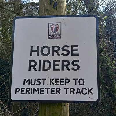 Sign repeated along track Photo: Phil Wadey, 25 Feb 2024 |
||
| Watford 30 (dark blue section) | ||||
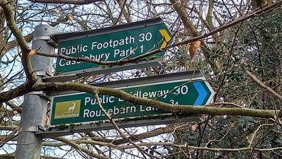 Sign on Grove Mill Lane Photo: Phil Wadey, 25 Feb 2024 |
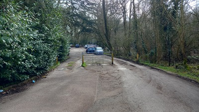 View from Grove Mill Lane Photo: Phil Wadey, 25 Feb 2024 |
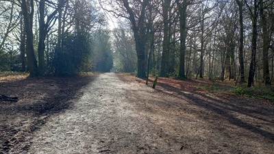 Continuing southeastwards Photo: Phil Wadey, 25 Feb 2024 |
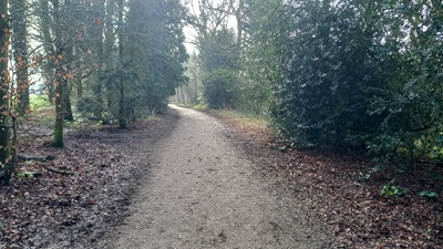 Continuing southeastwards Photo: Phil Wadey, 25 Feb 2024 |
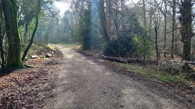 Continuing SE to Sarratt 79 Photo: Phil Wadey, 25 Feb 2024 |
| Sarratt 79 (light blue section) | ||||
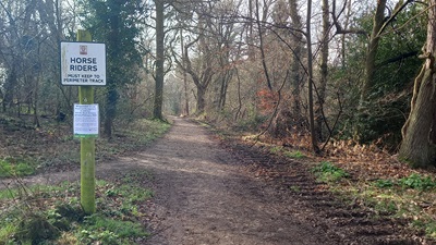 View SW from Watford 30 Photo: Phil Wadey, 25 Feb 2024 |
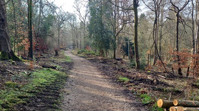 Continuing southwestwards Photo: Phil Wadey, 25 Feb 2024 |
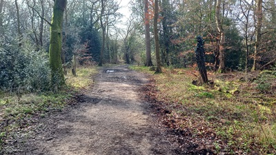 Continuing southwestwards Photo: Phil Wadey, 25 Feb 2024 |
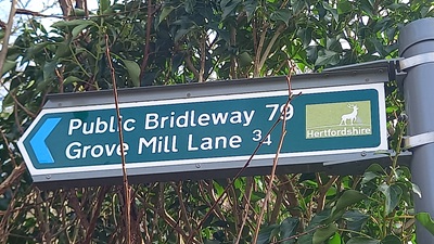 Sign on Rousebarn Lane Photo: Phil Wadey, 25 Feb 2024 |
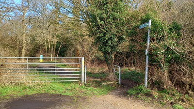 View from Rousebarn Lane Photo: Phil Wadey, 25 Feb 2024 |
| Whippendell Riding Route A (yellow) | ||||
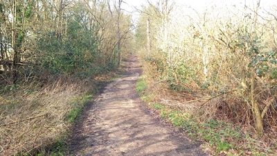 View NW from Sarratt 79 Photo: Phil Wadey, 25 Feb 2024 |
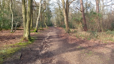 Continuing northwestwards Photo: Phil Wadey, 25 Feb 2024 |
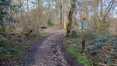 Continuing northwestwards Photo: Phil Wadey, 25 Feb 2024 |
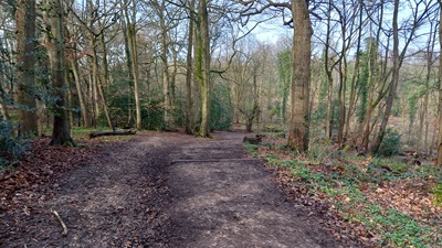 Continuing northwestwards Photo: Phil Wadey, 25 Feb 2024 |
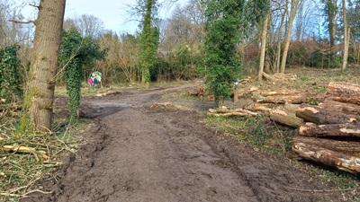 Continuing northwestwards Photo: Phil Wadey, 25 Feb 2024 |
| Whippendell Riding Route B (orange) | ||||
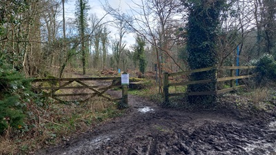 View NE from Rousebarn Lane Photo: Phil Wadey, 25 Feb 2024 |
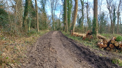 Continuing northeastwards Photo: Phil Wadey, 25 Feb 2024 |
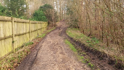 Continuing northeastwards Photo: Phil Wadey, 25 Feb 2024 |
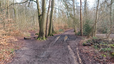 Continuing northeastwards Photo: Phil Wadey, 25 Feb 2024 |
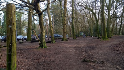 Continuing NW towards Watford 30 Photo: Phil Wadey, 25 Feb 2024 |
| Legal History 5 Jul 2012: The Whippendell Woods Creation Agreement came into operation. 21 Sep 2012: The Hertfordshire County Council (Watford Borough 30 and Sarratt 79) Legal Event Modification Order 2012 added part of the route to the definitive map. | |
|
Location Information
Postcode for SATNAV for anyone inspecting path: WD3 4NA (Grove Mill Lane end, Car Park). |
© 2024 Patchetts Green Bridleways Trust.
