
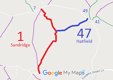
- Sandridge 1 RB from Woodcock Hill to Hammonds Lane
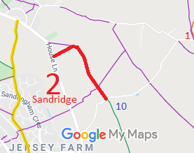
- Sandridge 2 BOAT from House Lane to Fairfold's Farm and BW 10
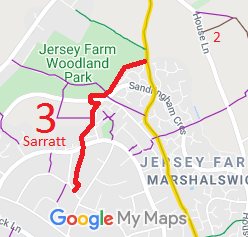
- Sandridge 3 BOAT from Jersey Farm Lane to Pondfield Crescent
- Sandridge Jersey Farm Lane
- Sandridge 6 BW from Jersey Farm Lane to House Lane
- Sandridge 7 BW from Nomansland Common to Hammonds Farm Lane
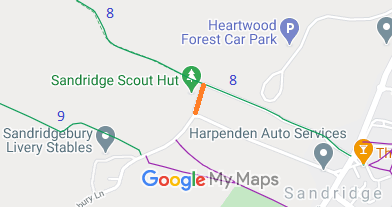
- Sandridge 8 and Wheathampstead 9 BW, from High Street Sandridge to Ayres End Lane
- Sandridge from Sandridgebury Lane to Sandridge 8 BW
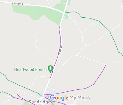
- Sandridge Heartwood Forest Bridleways
- Sandridge 9 and St Michael Rural 1 BW, from A1081 (A6) to Sandridgebury Lane
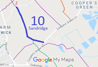
- Sandridge 10 BW, from Fairfolds Farm Lane to Cooper's Green Lane
- Sandridge 32 riding route, along inside of W hedge of St Albans to Wheathampstead Road, to Nomansland Common
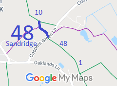
- Sandridge 48 BW, from Sandridge 10 BW to Coopers Green Lane then to Colney Heath 1 BW
- Sandridge 51 and Colney Heath 3 BW, from Sandpit Lane to Oaklands College
- Sandridge 53 BW, from Highfield Road to Jersey Lane
- Sandridge 54 and Hatfield 186 RB, Sleeve Hall Lane, from Coopers Green Lane to Woodcock Hill
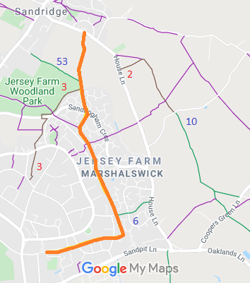
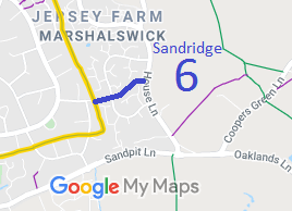
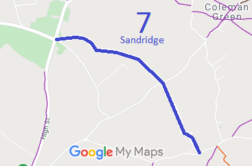
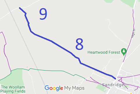
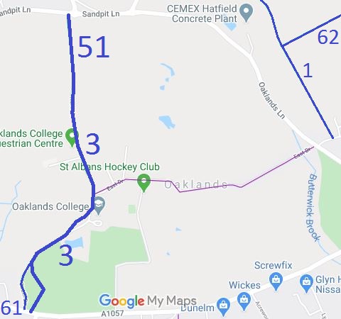
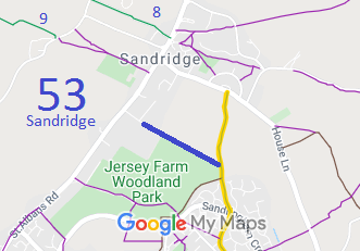
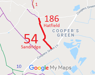
Annotated maps reproduced courtesy of Googlemaps.




 Local Government: Formerly within St Albans Rural District.
From 1974, part of St Albans City and District.
Tithe (c1843) IR30/15/74.
 The Sandridge Parish Council has an adopted Neighbourhood Development Plan (2021), which counts as part of the Local Development Plan when planning applications are considered.

