
- Reed 1 BW, from Royston 10 BW and Royston 12 BW to The Joint.
- Reed 9 and Barkway 5 BW
- Reed 10 and Barkway 2 BOAT
- Reed 20 BW, from High Street to Reed 9 BW
- Reed 23 BW, Buckland 17 BW and Barkway 23 RB, from the Buckland to Barkway road to Church Lane, Barkway.
- Reed 24 and Barkway 27 BW, from Barkway 2 and Reed 10 to Reed 9
- Reed 21 FP, from Reed 20 to common land parcel
- Reed 20 extn upgrade part of Reed 20 and extend eastwards
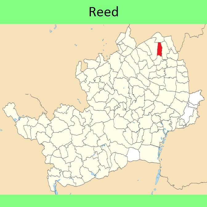
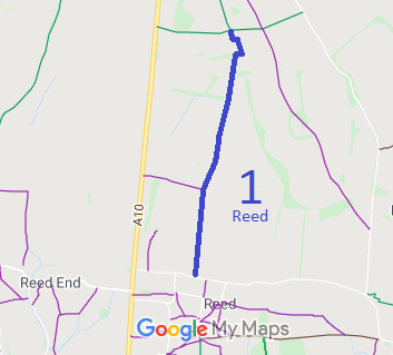
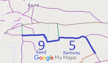
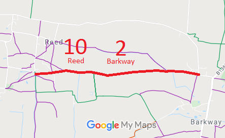
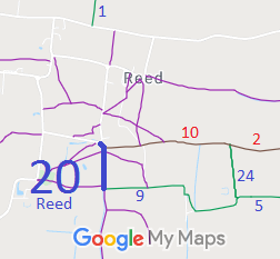
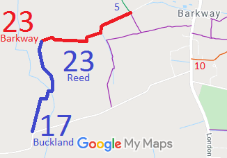
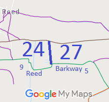
Annotated maps reproduced courtesy of Googlemaps.

 Local Government: Formerly within Hitchin Rural District. From 1974, part of North Herts District.
Inclosure (1808) [Barkway and Reed].

