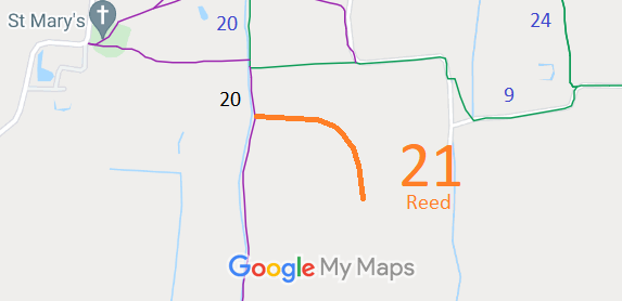
Annotated map reproduced courtesy of Googlemaps.
This route is recorded as a footpath. Please do not ride it until such time as higher rights are demonstrated.
At the time of the 2023 Access Survey (7 Apr 23), the path was unobstructed, signposted as per the current definitive map showing (footpath) at its junction with Reed 20. There was nothing to show where the path stopped. A short section was waterlogged.
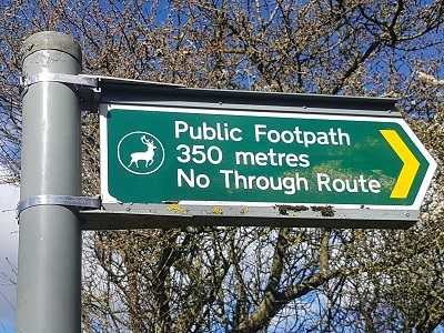
Sign at junction with Reed 20
Photo: Phil Wadey, 7 Apr 2023
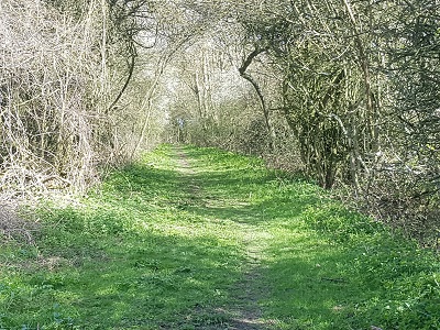
View from Reed 20
Photo: Phil Wadey, 7 Apr 2023
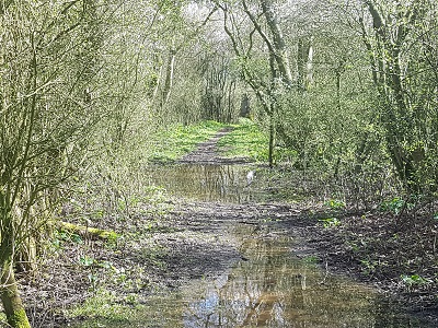
Continuing eastwards
Photo: Phil Wadey, 7 Apr 2023
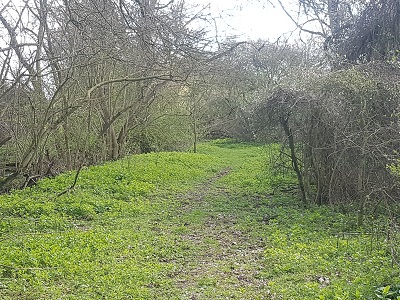
Turing southwards
Photo: Phil Wadey, 7 Apr 2023
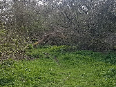
End of recorded path
Photo: Phil Wadey, 7 Apr 2023
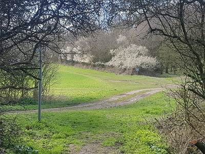
View west from western end
Photo: Phil Wadey, 7 Apr 2023

 As part of the British Horse Society's work to record paths before
Path Extinguishment Day,
it was spotted that this route appeared to be higher status than footpath. An application to record restricted byway rights was made on 8 May 2023, the third day of the King's Coronation weekend, which focused on volunteering and service. Paths are saved from Path Extinguishment Day by volunteer action!
