| Paths Greenways Bridleways Tracks | ||
| PG: OBJECTS: PROMOTION: Luton 34 Bridleway (Western Section) | ||
| Luton Orbital Bridleroute: Anti-clockwise: Chalton 11. Clockwise: Luton 34 (eastern section). | LOB | |
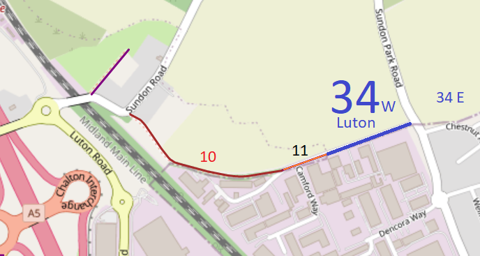
![]() Map data from © OpenStreetMap and Central Bedfordshire Council. |
This route starts from Chalton 11 at the borough boundary and continues along Camford Way to end on Sundon Park Road (public road) almost opposite Luton 34 bridleway (eastern Section).
At the time of the BHS 2023 Access Survey (8 Jan 23), there were no obstructions to use of the path and it was signed at its eastern end. The route is also a public road, so traffic is enountered. |
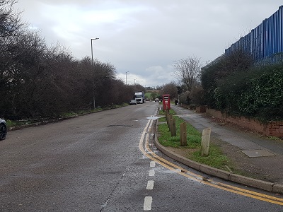
![]() View eastwards from near western end Photo: Phil Wadey, 8 Jan 2023 |
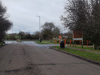
![]() Continuing eastwards Photo: Phil Wadey, 8 Jan 2023 |
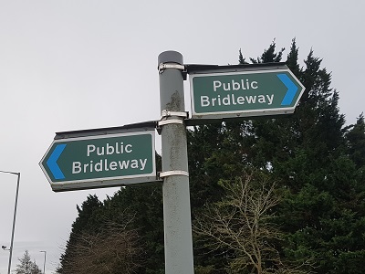
![]() Sign at Sundon Park Road Photo: Phil Wadey, 8 Jan 2023 |
|
| Legal History 19 Jan 1996: The route is shown as Luton 34 bridleway on the Definitive Map and Statement for the Former Borough of Dunstable, the Borough of Luton and the Former Leighton Buzzard and Linslade Urban and Luton Rural Districts. Map sheet 19. |
© 2023 Patchetts Green Bridleways Trust.