
- Harpenden 1 and Wheathampstead 2 BOAT, from Limbrick Road to Ayre's End Lane
- Harpenden 2 BOAT, from Limbrick Road to Bamville Farm
- Harpenden 7 and Harpenden Rural 2 BW, from Hatching Green towards Rothamsted House
- Harpenden 11 and Harpenden Rural 1 BW, from West Common to Harpenden Rural 1 BW
- Harpenden 32 BOAT, from Piggottshill Lane to Grove Road
- Harpenden 33 BOAT, from Wheathampstead Road to Grove Road
- Harpenden Common
- Nomansland Common
- Harpenden Marquis Lane to Piggotshill Lane
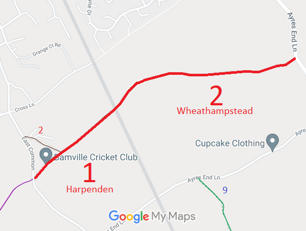
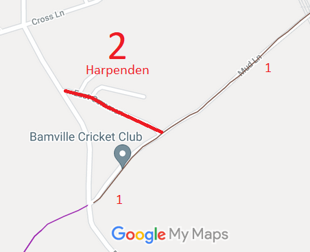
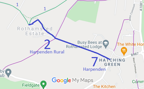
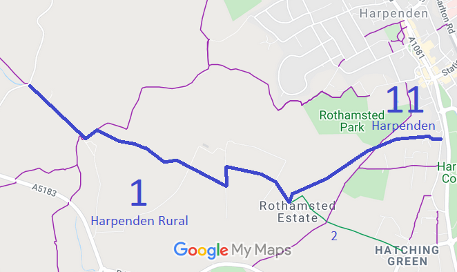
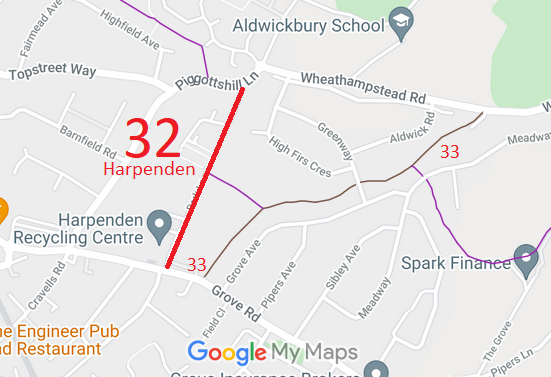
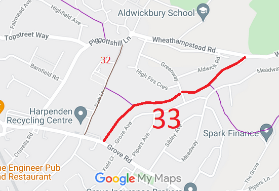
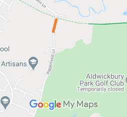
Annotated maps reproduced courtesy of Googlemaps.


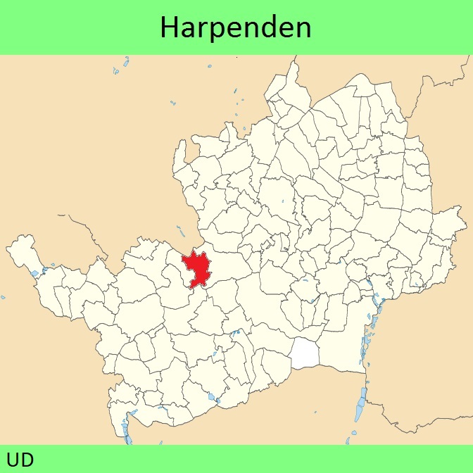
 Local Government: Formerly within Harpenden Urban District.
From 1974, part of St Albans District.
Tithe (1840) OFF ACC 1108.
 The Harpenden Parish Council has an adopted Neighbourhood Development Plan (2019), which counts as part of the Local Development Plan when planning applications are considered.

