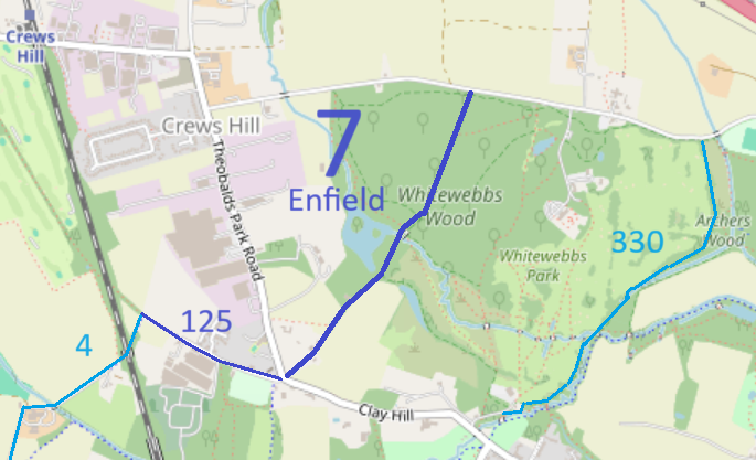
Map data from © OpenStreetMap and Enfield London Borough Council.
At the time of the 2025 Access Survey (6 Jul 25), one gate was across the path but there was a space to its eastern side that allowed passage on horseback. It was signposted at the southern end, but only if the viewer knew where to look. There was no signpost at the northern end. A tree was across the path near the northern end, but there was a route round it.
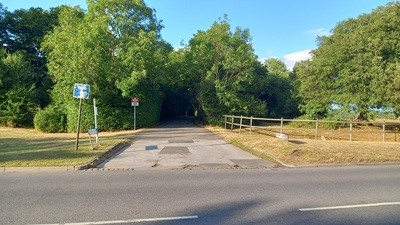
View from Cuffley Hill
Photo: Phil Wadey, 6 Jul 2025
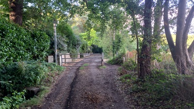
Gate with Gap to Side
Photo: Phil Wadey, 6 Jul 2025
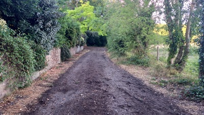
Continuing Northeastwards
Photo: Phil Wadey, 6 Jul 2025
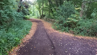
Junction with Whitewebbs South
Photo: Phil Wadey, 6 Jul 2025
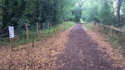
Continuing Northeastwards
Photo: Phil Wadey, 6 Jul 2025
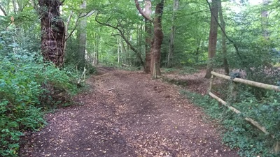
Continuing Northeastwards
Photo: Phil Wadey, 6 Jul 2025
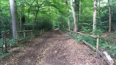
Continuing Northeastwards
Photo: Phil Wadey, 6 Jul 2025
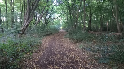
Continuing Northeastwards
Photo: Phil Wadey, 6 Jul 2025
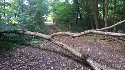
Tree and exit to Whitewebbs Road
Photo: Phil Wadey, 6 Jul 2025
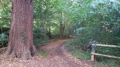
Whitewebbs North from Enfield 7
Photo: Phil Wadey, 6 Jul 2025
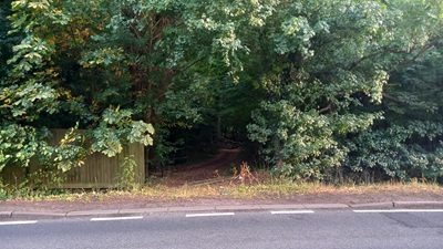
View from Whitewebbs Road
Photo: Phil Wadey, 6 Jul 2025
