Paths Greenways Bridleways Tracks
 PG: OBJECTS: PROMOTION: Enfield 125 - Strayfield Road
Map showing recorded paths
Map data from © OpenStreetMap and Enfield London Borough Council.
This path starts from Enfield 4 bridleway and continues generally south-eastwards along Strayfield Road to end on Clay Hill (public road) close to Enfield 7 bridleway (Flash Lane).

At the time of the 2025 Access Survey (6 Jul 25), there were no gates across the path. It was signposted at each end.
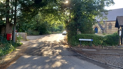
Photograph of Enfield 125 bridleway
View from Clay Hill
Photo: Phil Wadey, 6 Jul 2025
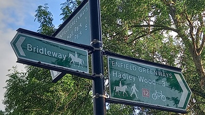
Photograph of Enfield 125 bridleway
Signage at junction with FP
Photo: Phil Wadey, 6 Jul 2025
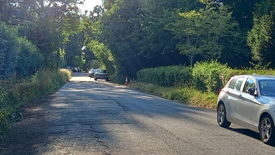
Photograph of Enfield 125 bridleway
Continuing NW
Photo: Phil Wadey, 6 Jul 2025
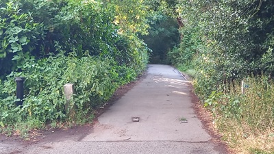
Photograph of Enfield 125 bridleway
Continuing NW
Photo: Phil Wadey, 6 Jul 2025
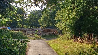
Photograph of Enfield 125 bridleway
Continuing NW to BW4
Photo: Phil Wadey, 6 Jul 2025
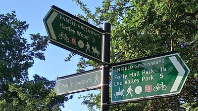
Photograph of Enfield 125 bridleway
Signage at junction with BW4
Photo: Phil Wadey, 6 Jul 2025

Legal History
1 Aug 1953: Enfield 125 was not shown on the draft map for Middlesex. Map sheet Middx 2 SE (Herts 41 SE).
Enfield Definitive Statement (28 Nov 2020)
Path: [Enfield] 125.  Status: Bridleway.  
Commencing at Field Gate at the junction of F.P.3 and Bridleway 4 eastwards along Strayfield Road to its junction with Clay Hill.

© 2025 Patchetts Green Bridleways Trust.

Stats2