
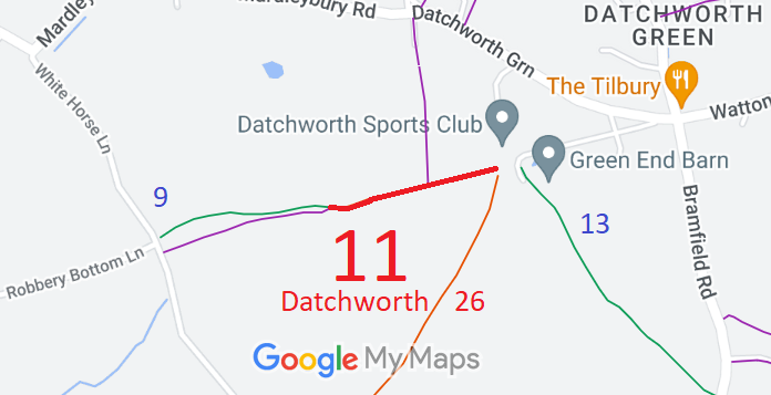
- Datchworth 11 RB, from Datchworth Green SW to parish boundary
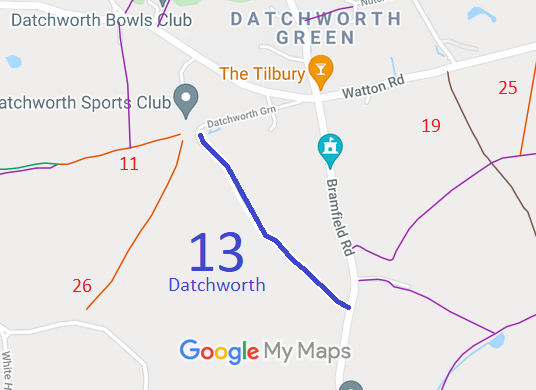
- Datchworth 13 BW, from Datchworth Green SE to Bramfield Road
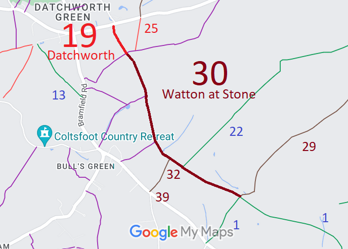
- Datchworth 19 and Watton-at-Stone 30 BOAT
- Datchworth 24 and Knebworth 3 BW, from Watton Road to Bragbury Lane
- Datchworth 25 BOAT, from Raffin Green Lane to Watton Road
- Datchworth 25 RB, from Watton Road to Watton-at-Stone 26
- Datchworth 26 RB, from Datchworth Green to Coltsfoot Lane
- Datchworth 20 and Watton 31, from Bulls Green to Back Lane
- Datchworth DG route from Datchworth Green (public road) to Datchworth 11 RB
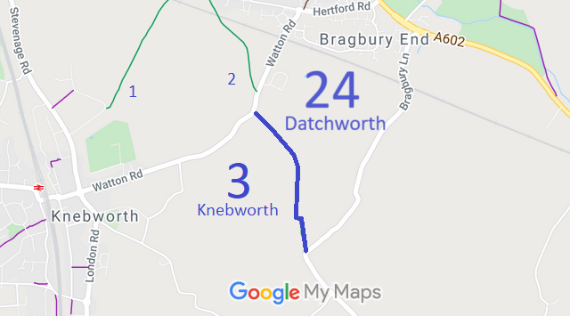
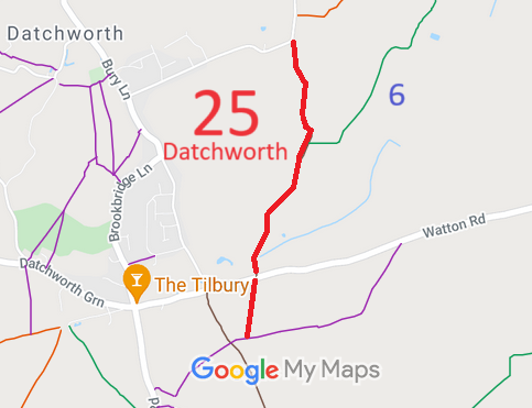
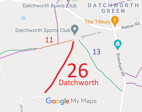
Annotated maps reproduced courtesy of Googlemaps.


 Local Government: Formerly within Hertford Rural District. From 1974, part of East Hertfordshire District.
Tithe (1839) DSA4/34/2. Inclosure (1867) [Datchworth and Knebworth]

