Paths Greenways Bridleways Tracks
 PG: OBJECTS: PROMOTION: Datchworth 13
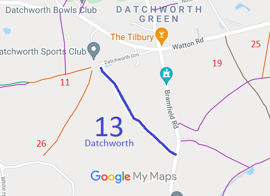
Map showing recorded Datchworth paths
Annotated map reproduced courtesy of Googlemaps.
This route runs from Datchworth Green to Bramfield Road (public road).

At the time of the 2024 Access Survey (27 Aug 24), the route was unobstructed save for a step-over gate at the southern end. There was a signpost at the southeastern end but just a waymark at the northwestern end.
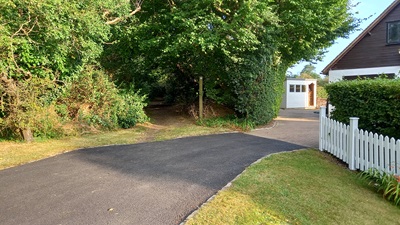
Photograph of Datchworth 13
View from Datchworth Green
Photo: Phil Wadey, 27 Aug 2024
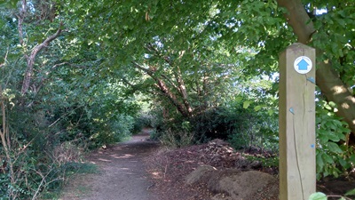
Photograph of Datchworth 13
Waymark at Datchworth Green
Photo: Phil Wadey, 27 Aug 2024
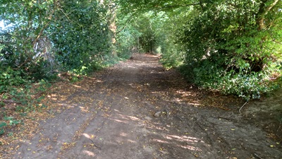
Photograph of Datchworth 13
Continuing Southeastwards
Photo: Phil Wadey, 27 Aug 2024
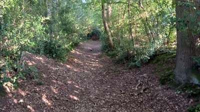
Photograph of Datchworth 13
Continuing Southeastwards
Photo: Phil Wadey, 27 Aug 2024
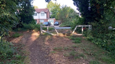
Photograph of Datchworth 13
Gate at SE End
Photo: Phil Wadey, 27 Aug 2024
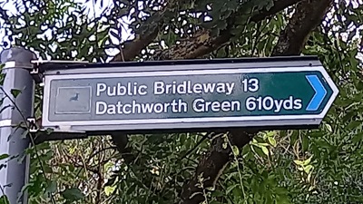
Photograph of Datchworth 13
Sign at Bramfield Road
Photo: Phil Wadey, 27 Aug 2024
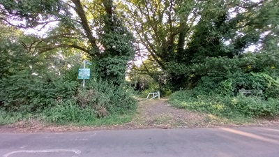
Photograph of Datchworth 13
View NW from Bramfield Road
Photo: Phil Wadey, 27 Aug 2024

Legal History
2 Feb 1953: The route was recorded as a bridleway on the original definitive map and statement. DM sheets DM2-7 (Herts 20 SE) and DM2-10 (Herts 21 SW).
31 Dec 1977: Datchworth 13 was shown as a bridleway on the special review draft map and statement. DM sheets SR-44 (TL21NE).
9 Dec 2016: Application to record as restricted byway. HCC reference EH/452.
Definitive Statement (4 Dec 2015)
Path: [Datchworth] 13.  Recorded Status: Bridleway.  Definitive Map sheet: 44
Commences from Southern End of Datchworth Green thence SE to Govers Green and county road.
Maintainability
This route is maintainable at the public expense because it was a footpath or bridleway existing before 30 Apr 1959.

© 2024 Patchetts Green Bridleways Trust. File reference: EC717. HCC reference: EH/452.

Stats2