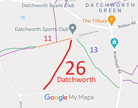
Annotated map reproduced courtesy of Googlemaps.
At the time of the 2024 Access Survey (27 Aug 24), the route was unobstructed save for bollards at the southern end. The route was signposted at each end.
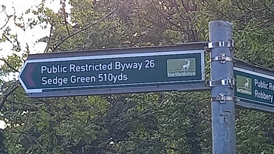
Sign at Datchworth Green
Photo: Phil Wadey, 27 Aug 2024
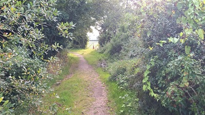
View from Datchworth Green
Photo: Phil Wadey, 27 Aug 2024
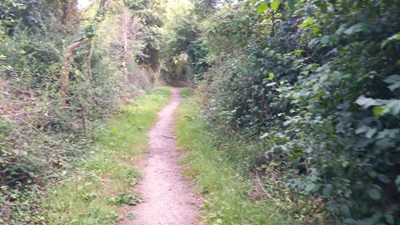
Continuing Southwestwards
Photo: Phil Wadey, 27 Aug 2024
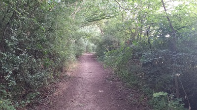
Continuing Southwestwards
Photo: Phil Wadey, 27 Aug 2024
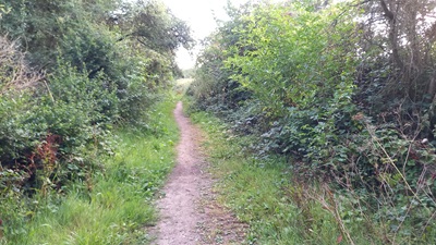
Continuing Southwestwards
Photo: Phil Wadey, 27 Aug 2024
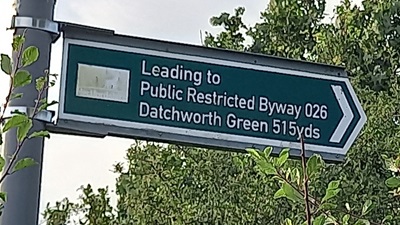
Sign at Coltsfoot Lane
Photo: Phil Wadey, 27 Aug 2024
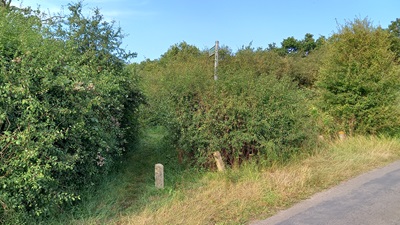
View from Coltsfoot Lane
Photo: Phil Wadey, 27 Aug 2024


 As part of the Patchetts Green Bridleways Trust's and the British Horse Society's work to record paths before
Path Extinguishment Day,
it was spotted that Datchworth 26 did not reach the road at its southern end. The last 10m was imply missing from the definitive map, although it was in the definitive statement. The historical evidence showed a continuous route, so an application was made in 2024 to record the gap.
