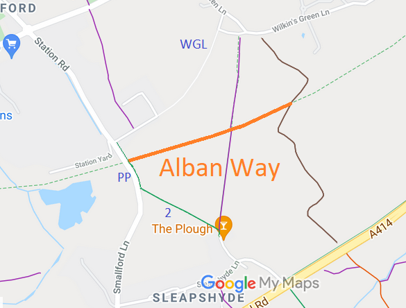
Annotated map reproduced courtesy of Googlemaps.
This section, shown orange on the plan, runs from Peggy's Path to the parish boundary, Colney Heath 51 byway, and another section which leads to Ellenbrook Lane.
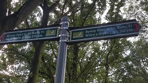
Sign at junction with Byway 51
Photo: Phil Wadey, 1 Sep 2020
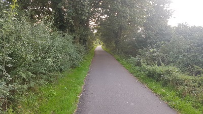
Looking W along path
Photo: Phil Wadey, 1 Sep 2020
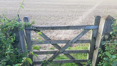
Junction with path to the north
Photo: Phil Wadey, 1 Sep 2020
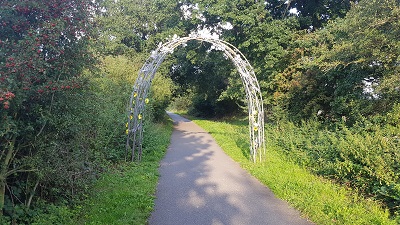
Looking W along path
Photo: Phil Wadey, 1 Sep 2020
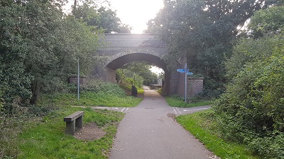
Junction with Peggy's Path
Photo: Phil Wadey, 1 Sep 2020