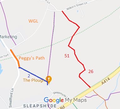
Annotated map reproduced courtesy of Googlemaps.
Although the route has been in use for many years, no one has applied for it to be added to the definitive map of rights of way for the area. We would like to remedy this.
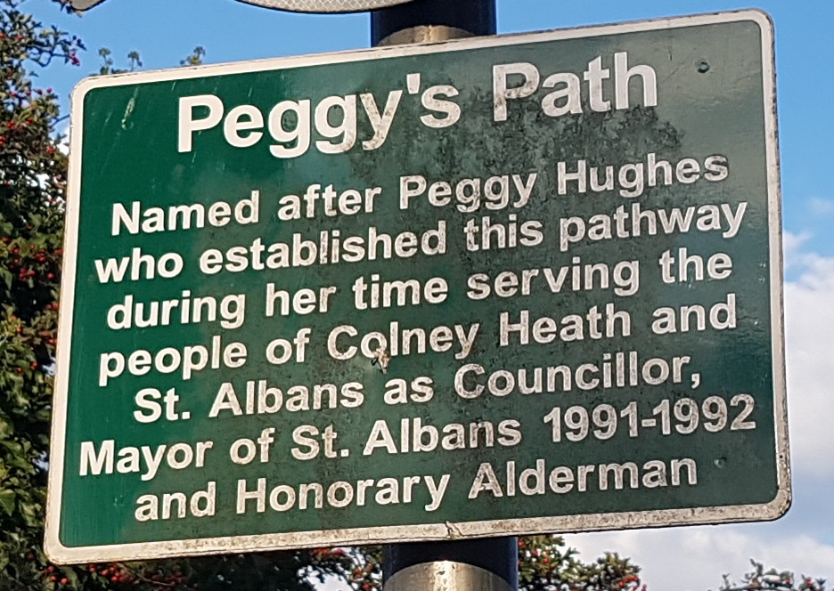
Sign at northern end of Peggy's Path
Photo: Phil Wadey, 1 Sep 2020
 If you have ridden the route, please download a user evidence form and then follow the instructions and return the form to us. It only takes a few minutes to fill in (the whole form fits on one side of a piece of A4 paper). If you have any other questions, please email us.
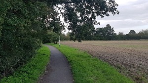
Looking North from BW 2
Photo: Phil Wadey, 1 Sep 2020
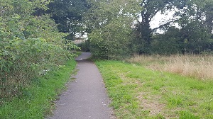
Continuing North from BW 2
Photo: Phil Wadey, 1 Sep 2020
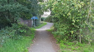
Approaching Alban Way
Photo: Phil Wadey, 1 Sep 2020
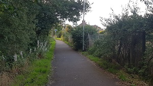
Continuing North after Alban Way Crossing
Photo: Phil Wadey, 1 Sep 2020
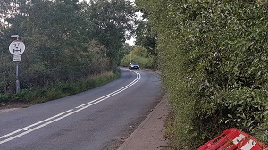
Road avoided by using Peggy's Path
Photo: Phil Wadey, 1 Sep 2020