
- Chorleywood 24 BW Bullsland Lane to Shire Lane.
- Chorleywood 33 and Rickmansworth 2, Shire Lane.
- Chorleywood 38 BW Newhouse Farm to railway bridge.
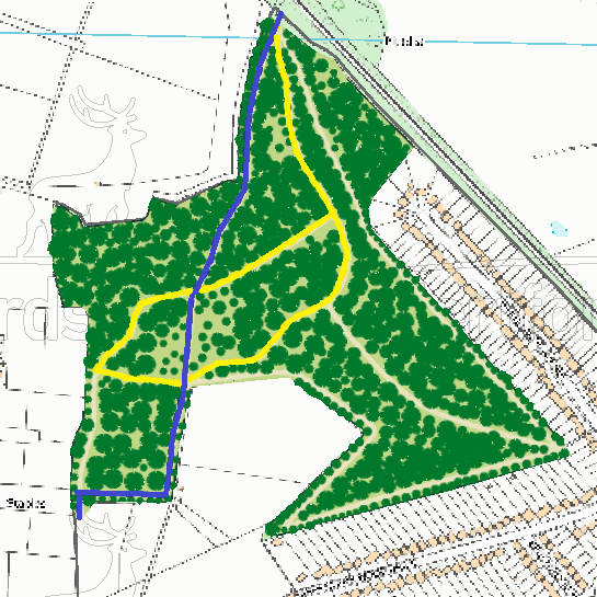
- Chorleywood Carpenters Wood horse riding trail
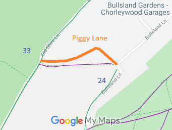
- Chorleywood Piggy Lane.
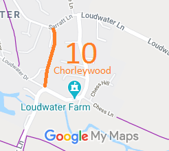
- Chorleywood 10 from Loudwater Lane to Sarratt Lane.
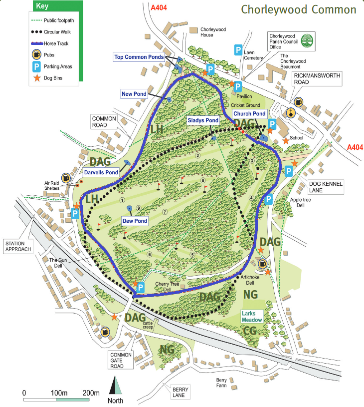
- Chorleywood Common circular riding route
- Chorleywood South Park Lane under investigation
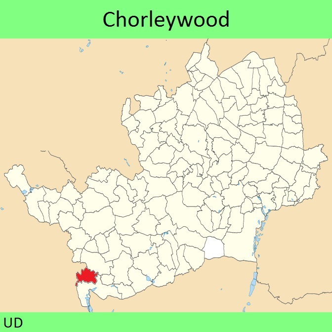
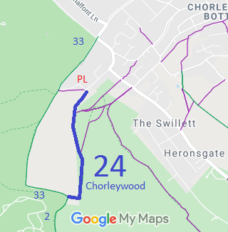
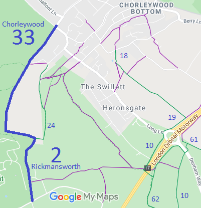
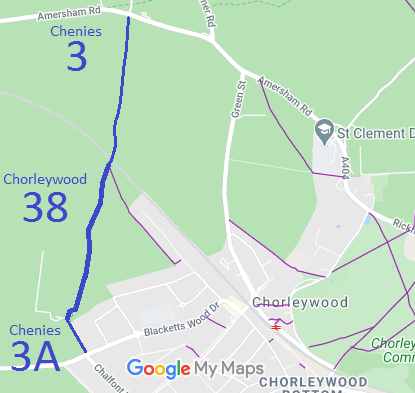

Annotated maps reproduced courtesy of Googlemaps.

 Local Government: Formerly within Chorley Wood Urban District. From 1974, part of Three Rivers District.
 The Chorleywood Parish Council has adopted Neighbourhood Development Plan, which counts as part of the Local Development Plan when planning applications are considered.
