Paths Greenways Bridleways Tracks
 PG: OBJECTS: PROMOTION: Chorleywood Common
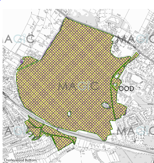
Map showing recorded Hertfordshire paths
Annotated map reproduced courtesy of MAGIC.
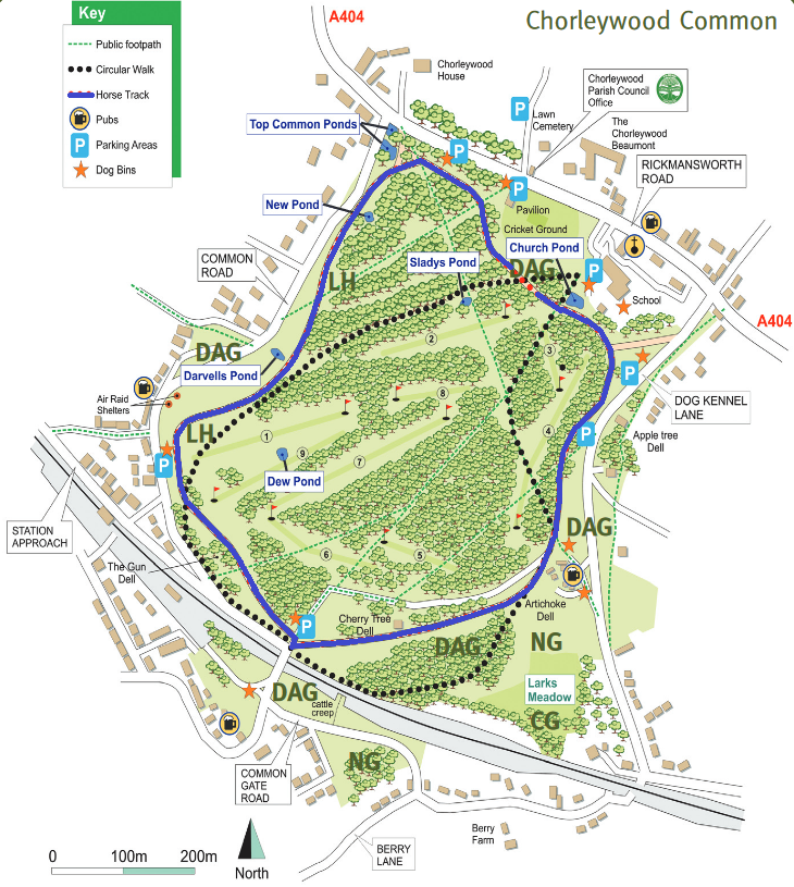
Map showing Chorleywood Common riding route
Map reproduced from published leaflet.
This is a common which was in an Urban District prior to 1974. As such it has rights of access on horseback, unless these have otherwise been restricted.

In practice, there are byelaws restricting use, and a designated riding route (shown in blue) has been provided.

Commons Information

Common Land Number: CL44
Area: 661,489 sq m
Equestrian Rights: s.193 LPA 1925 Former Urban District

Legal History
This land is subject to byelaws made by the Three Rivers District Council in 24 Oct 1980 and confirmed by the Secretary of State on 15 Jan 1981.

© 2022 Patchetts Green Bridleways Trust. Leaflet and map © Friends of Chorleywood Common.