
- Buntingford 2, from Wyddial Road to The Causeway.
- Buntingford 3, from Buntingford 4 BW to the public road (The Causeway) by St Bartholomew's Church.
- Buntingford 4, from Buntingford 3 & 5 BW to Moles Lane, Wyddial.
- Buntingford 5 and Wyddial 9 BW, from Buntingford 3 & 4 BW to Moles Lane, Wyddial.
- Buntingford 6, from a spur off the public road (The Causeway) by St Bartholomew's Church to Buntingford 4 BW.
- Buntingford 7, from Buntingford 8 RB (Green Lane) to Buntingford 6 BW.
- Buntingford 8 and Hormead 15 RB (Green Lane), from The Causeway to B1568, with junctions to various other paths.
- Buntingford 9 and Hormead 33 RB, from Wyddial 11 RB and Buntingford 10 BW to Hare Street Road.
- Buntingford 10 BW from Buntingford 4 BW to Buntingford 9 RB.
- Buntingford 11, Wyddial 11, Hormead 25 and Anstey 16 RB, from Buntingford 9 RB to London Road.
- Buntingford 13, from The Causeway to Hare Street Road.
- Buntingford 14 BW Hare Street Road to Buntingford 8 RB (Green Lane).
- Buntingford 22 BW, from Owles Lane to London Road.
- Buntingford 23 BW, from Owles Farm to Hormead parish boundary.
- Buntingford 24 BW Alswick Hall
- Buntingford 31 BW, from Buntingford 35 FP to Bowling Green Lane.
- Buntingford 40 BOAT Owles Lane.
- Buntingford 17 and 18 and Hormead 25 RB.
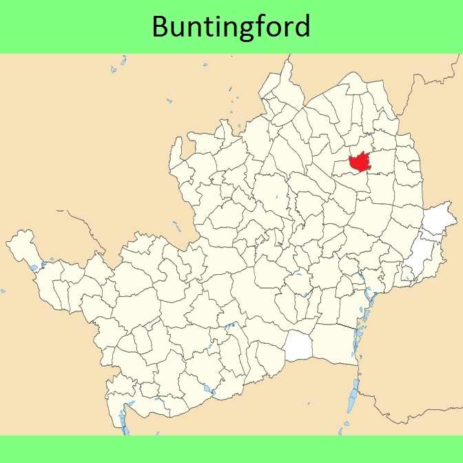


 Local Government: Formerly within Braughing Rural District.
From 1974, part of East Hertfordshire District.
Tithe (Layston) (1838) DSA4/65/2. Inclosure (Little Hormead and Layston) (1864).
 The Buntingford Town Council has adopted a Neighbourhood Development Plan (2017), which counts as part of the Local Development Plan when planning applications are considered.

