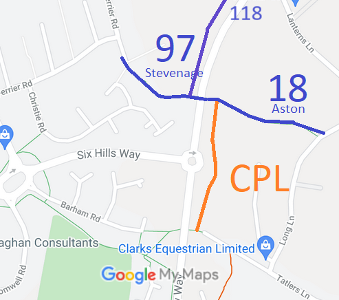
Annotated map reproduced courtesy of Googlemaps.
This route starts as Stevenage 97 on Blackwell Close, and heads southeastwards over the Gresley Way bridge to a junction with Aston 37 RB (Charlie Piddle's Lane). It then continues as Aston 18 eastwards to Long Lane.
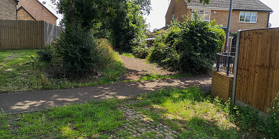 Junction with Blackwell Close
Photo: Nick Francis, 21 Jul 2021
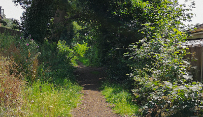 View E along path
Photo: Nick Francis, 21 Jul 2021
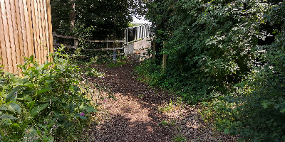 Approaching bridge
Photo: Nick Francis, 21 Jul 2021
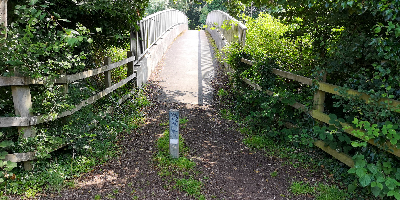 Bridge over Gresley Way
Photo: Nick Francis, 21 Jul 2021
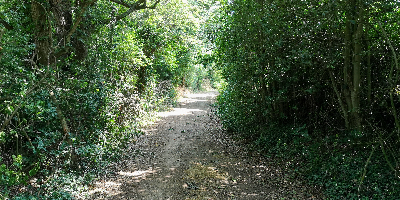 Continuing E on Aston 18
Photo: Nick Francis, 21 Jul 2021
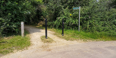 Start of Aston 18 from Long Lane
Photo: Nick Francis, 21 Jul 2021
 As part of the British Horse Society's work to record paths before
Path Extinguishment Day,
it was spotted that Sheafgreen Lane was recorded as a bridleway, yet the historical evidence strongly suggested that it should be recorded as a restricted byway. An application was made to record the higher status.
