
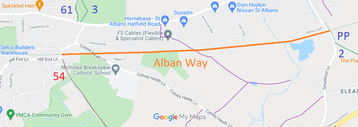
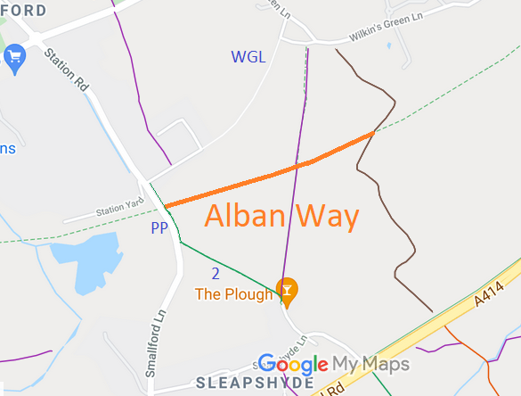
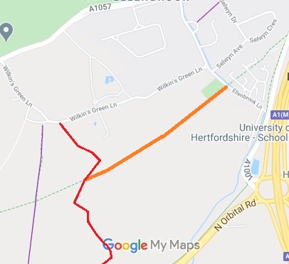
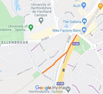
Annotated map reproduced courtesy of Googlemaps.
HD176657 St Albans District Council own the land from the borough boundary with Welwyn Hatfield Borough Council westwards to St Albans. (EC1120)
| Project Work: Nickey Line Former Railway Line | ||
| PG: OBJECTS: RAILWAY PROJECTS: WELWYN-HATFIELD & ST ALBANS: Alban Way | ||
Annotated map reproduced courtesy of Googlemaps. |
Description | Useful Links | Land Management | |
| The Alban Way is a disused railway line (Hatfield to St Albans) that was bought by the district councils for the creation of a cycle and walking, and in part, riding track. The aim of this project is to document and extend the amount usable by equestrians. |
HD139167 Welwyn Hatfield Borough Council own the land from the borough boundary with St Albans City & District Council eastwards to Hatfield. (EC1108) HD176657 St Albans District Council own the land from the borough boundary with Welwyn Hatfield Borough Council westwards to St Albans. (EC1120)
|
|||
|
| ||||
| History |
© 2021 Patchetts Green Bridleways Trust.