Paths Greenways Bridleways Tracks
 PG: OBJECTS: PROMOTION: Wheathampstead 101
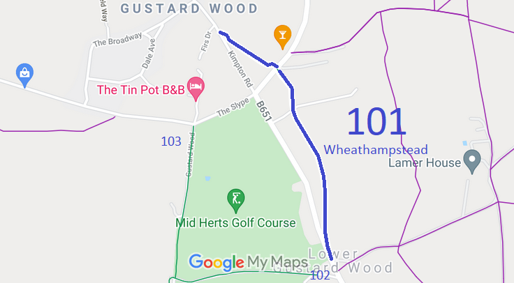
Map showing recorded Wheathampstead paths
Annotated map reproduced courtesy of Googlemaps.
This path starts from Kimpton Road (public road) and heads south-eastwards to cross Ballslough Hill Road (public road) then continues south-eastwards to Lamer Lane (public road).

We need a volunteer to photograph this route for this year's Access and Riding Rights of Way Survey. It's easy - just take photographs (safely) when you use the path. Find out more!
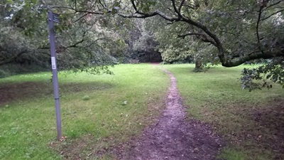
Wheathampstead 101 photo Looking NW from Ballslough Hill Road
Photo: Phil Wadey, 25 Sep 2024
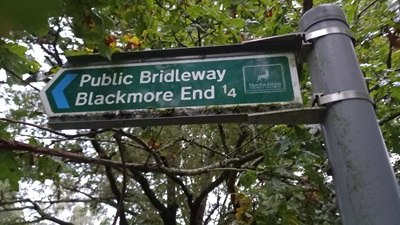
Wheathampstead 101 photo Sign NW from Ballslough Hill Road
Photo: Phil Wadey, 25 Sep 2024
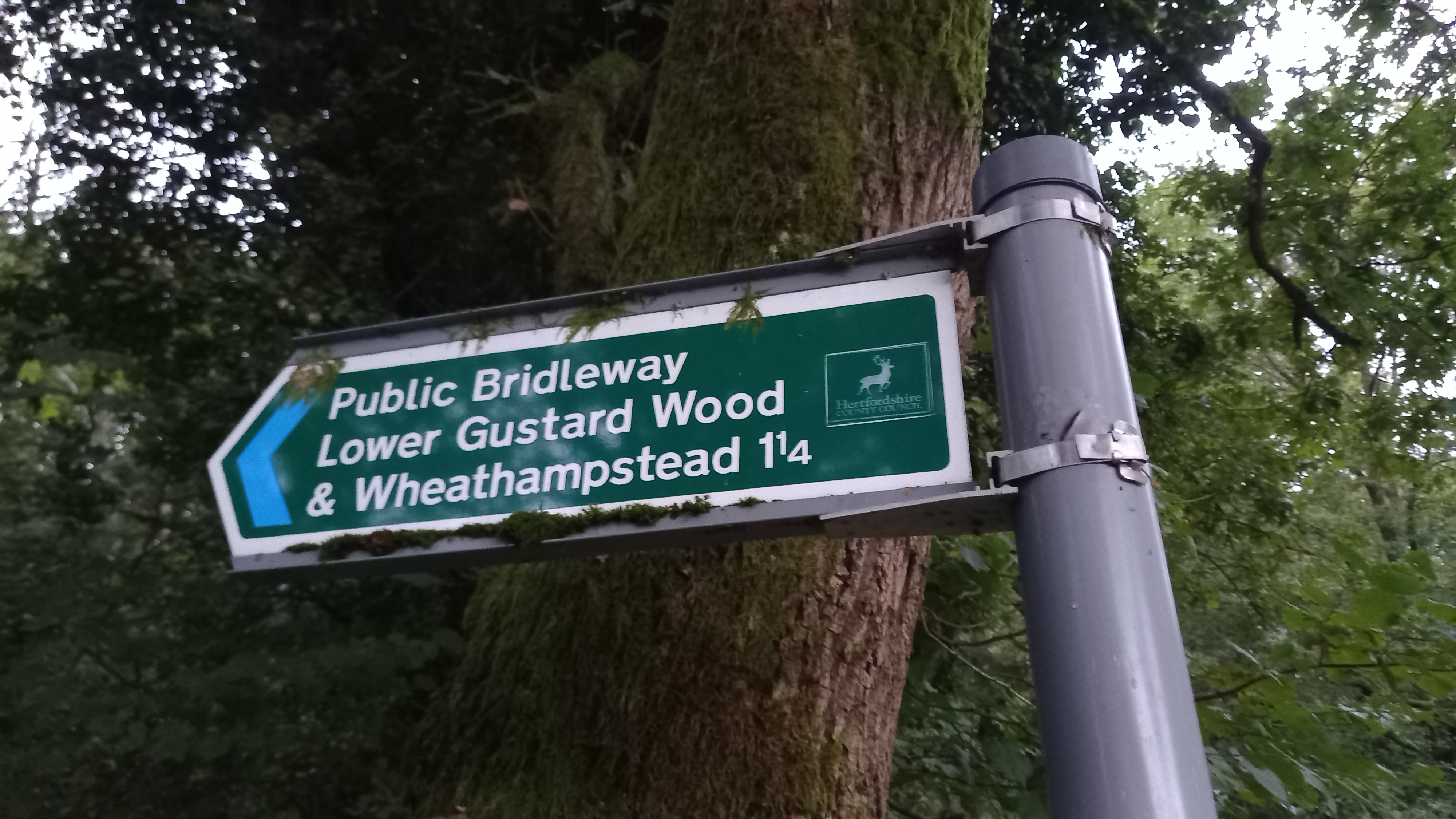
  Wheathampstead 101 photo Sign S from Ballslough Hill Road
Photo: Phil Wadey, 25 Sep 2024
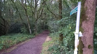
Wheathampstead 101 photo View S from Ballslough Hill Road
Photo: Phil Wadey, 25 Sep 2024

Legal History
Definitive Statement (4 Dec 2015)
Path: [Wheathampstead] 101.  Status: Bridleway.  Definitive Map sheet: 42
Commences from Kimpton Road opposite a junction with Firs Drive at TL 1724 1651 then generally south east for approximately 262 metres to Ballslough Hill Road, at TL 1744 1640 then generally south east for approximately 678 metres to a junction with Lamer Lane at TL 1764 1575.
Width: 4 metres
Limitations: None

© 2022 Patchetts Green Bridleways Trust.