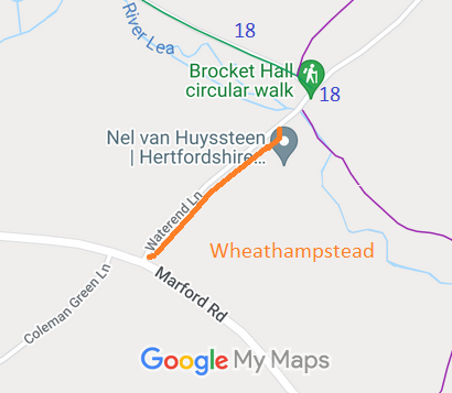
Annotated map reproduced courtesy of Googlemaps.
It starts on Marford Road, and a junction with Wheathampstead Permissive Bridleway 1 and heads generally north-eastwards, to another junction with Wheathampstead Permissive Bridleway 1, then a ford over the River Lea to a junction with Wheathampstead 18 bridleway. It continues north-eastwards to the Ayot Greenway.
At the time of the BHS 2022 Access Survey (20 Mar 22), there were no obstructions and little motor traffic. It was a pleasant route to use. The photograhs below show the route from Wheathampstead 18 south-westwards to Marford Road.
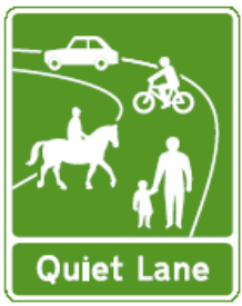
Statutory Sign

Alternative Sign
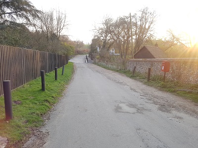
View SW from Wheathampstead 18
Photo: Phil Wadey, 20 Mar 2022
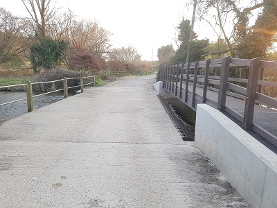
The (Dutch) Ford
Photo: Phil Wadey, 20 Mar 2022
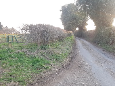
Permissive Bridleway to the left
Photo: Phil Wadey, 20 Mar 2022
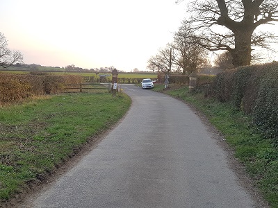
Approaching Marford Road
Photo: Phil Wadey, 20 Mar 2022
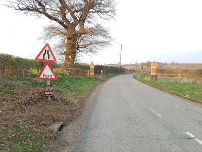
View NE from Marford Road
Photo: Phil Wadey, 20 Mar 2022
