
- Therfield 12 and Royston 13 BW
- Therfield 35 BOAT/FP
- Therfield 36 BOAT
- Therfield 41 and Sandon 45 BOAT, from Notley Green to Collins Green
- Therfield 44 and Bassingbourn 16 BW
- Therfield 34, gap and 17 FP - application made to upgrade
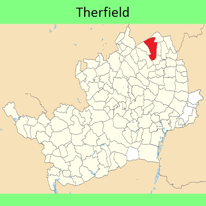
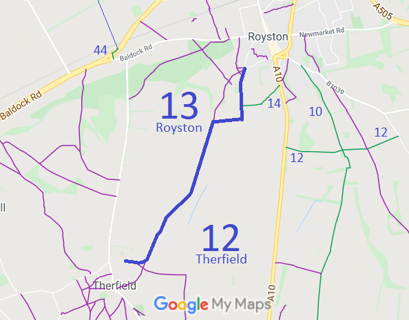
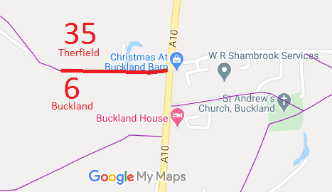
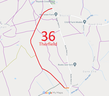
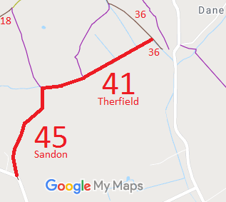
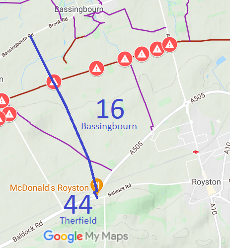
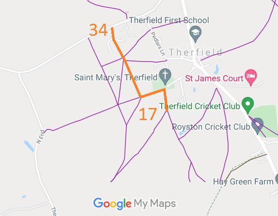
Annotated maps reproduced courtesy of Googlemaps.


 Local Government: Formerly within Hitchin Rural District. From 1974, part of North Hertfordshire District.
Tithe (1843) DSA4/102/2. Inclosure (1848).

