
- Sandon 37 BW, from Dark Lane to public road
- Sandon 44 BOAT, Park Lane, from Notley Green to Kelshall to Sandon road.
- Sandon 45 BOAT, Notley Lane, from Notley Green to Kelshall to Collins Green.
- Sandon 49 and Rushden and Wallington 14 BW, from Beckfield Farm to Rushden 14 BW.
- Sandon and Rushden and Wallington Permissive BW 1, from Roe Green to Rushden Road.
- Sandon Green End Drovers' Path
Routes found from 2026 work
- Sandon 30 FP from Sandon Lane to Ellen Green (currently recorded as FP)
- Sandon 34 FP from road to church at Redhill (currently recorded as FP)
- Sandon 11A FP upgrade to be applied for
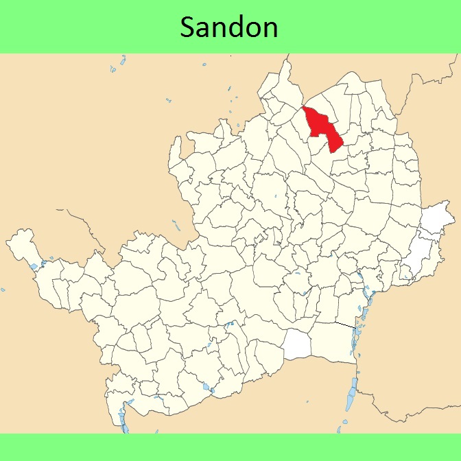
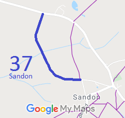
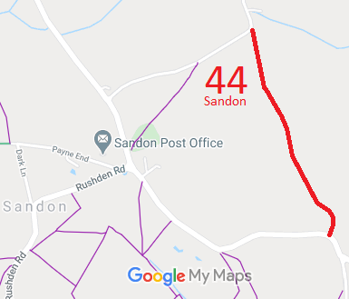
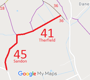

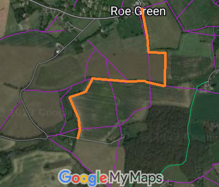
Annotated maps reproduced courtesy of Googlemaps.



 Local Government: Formerly within Hitchin Rural District. From 1974, part of North Hertfordshire District.
Tithe (1841) DSA4/90/2. Inclosure (1842).

